Transport Functions
Multimodal
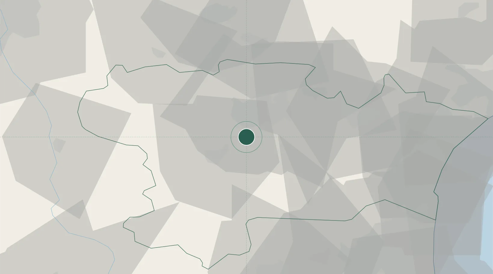
Hub Profile
Place type
Populated place
Region
Occitanie
Population
626
Time zone
Europe/Paris
Elevation
138 m
Location
Nearby Logistics Neighbours
Cities
- 1Roullens5 km
- 2Cazilhac5 km
- 3Rouffiac-d'Aude5 km
- 4Saint-Hilaire6 km
- 5Carcassonne8 km
Ports
- 1Port-La-Nouvelle61 km
- 2Port-Vendres95 km
- 3Sete114 km
- 4Rosas120 km
- 5Palamos160 km
Airports
Trade Zones
- 1ZFU Perpignan68 km
- 2ZFU Béziers74 km
- 3ZFU Toulouse88 km
- 4ZFU Montpellier132 km
- 5ZFU Nîmes179 km
DatabookThe Record of Consolidated Knowledge
France beyond logistics?