Transport Functions
Rail
Airport
Hub Profile
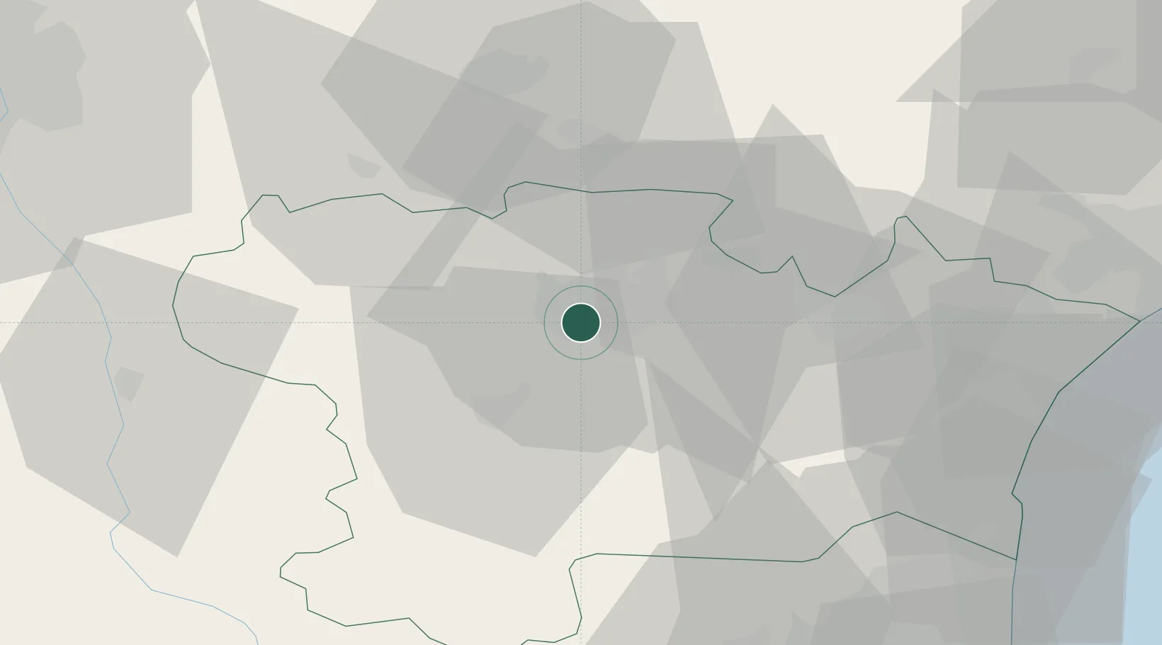
Place type
Provincial seat
Region
Occitanie
Population
49,600
Time zone
Europe/Paris
Elevation
113 m
Location
Nearby Logistics Neighbours
Cities
- 1Villemoustaussou4 km
- 2Cazilhac4 km
- 3Villegailhenc6 km
- 4Pezens7 km
- 5Trèbes7 km
Ports
- 1Port-La-Nouvelle62 km
- 2Port-Vendres100 km
- 3Sete111 km
- 4Rosas126 km
- 5Palamos166 km
Airports
Trade Zones
- 1ZFU Béziers71 km
- 2ZFU Perpignan73 km
- 3ZFU Toulouse85 km
- 4ZFU Montpellier128 km
- 5ZFU Nîmes175 km
DatabookThe Record of Consolidated Knowledge
France beyond logistics?