Transport Functions
Multimodal
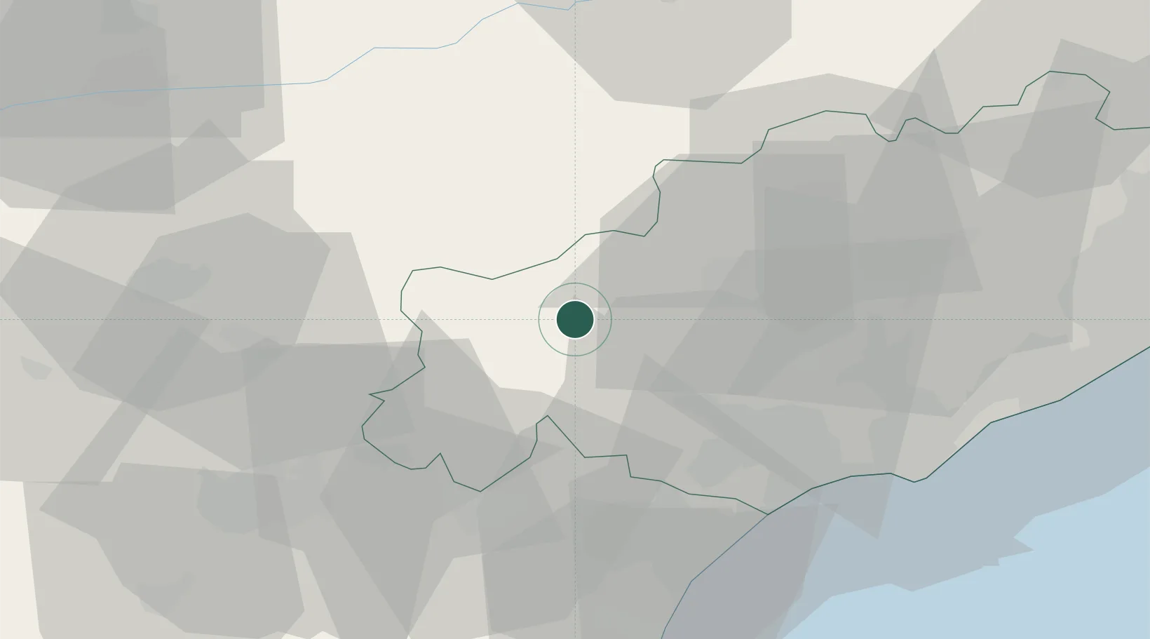
Hub Profile
Place type
Populated place
Region
Occitanie
Population
644
Time zone
Europe/Paris
Elevation
206 m
Location
Nearby Logistics Neighbours
Cities
- 1Berlou8 km
- 2Riols12 km
- 3Prades-sur-Vernazobre12 km
- 4Combes13 km
- 5Saint-Chinian15 km
Ports
- 1Port-La-Nouvelle61 km
- 2Sete65 km
- 3Port-Vendres116 km
- 4Rosas144 km
- 5Port Saint Louis Du Rhone154 km
Airports
Trade Zones
- 1ZFU Béziers34 km
- 2ZFU Montpellier75 km
- 3ZFU Perpignan95 km
- 4ZFU Nîmes119 km
- 5ZFU Toulouse119 km
DatabookThe Record of Consolidated Knowledge
France beyond logistics?