Transport Functions
Multimodal
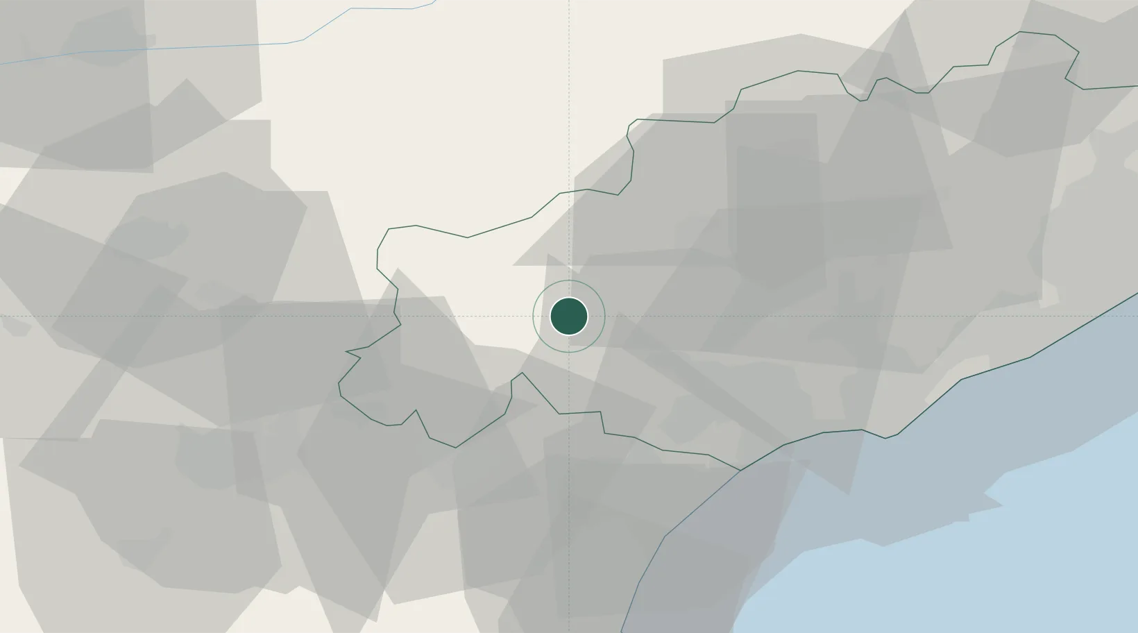
Hub Profile
Place type
Populated place
Region
Occitanie
Population
186
Time zone
Europe/Paris
Elevation
203 m
Location
Nearby Logistics Neighbours
Cities
- 1Prades-sur-Vernazobre5 km
- 2Saint-Chinian7 km
- 3Olargues8 km
- 4Causses-et-Veyran11 km
- 5Villespassans11 km
Ports
- 1Port-La-Nouvelle53 km
- 2Sete61 km
- 3Port-Vendres108 km
- 4Rosas137 km
- 5Port Saint Louis Du Rhone151 km
Airports
Trade Zones
- 1ZFU Béziers27 km
- 2ZFU Montpellier74 km
- 3ZFU Perpignan87 km
- 4ZFU Nîmes119 km
- 5ZFU Toulouse122 km
DatabookThe Record of Consolidated Knowledge
France beyond logistics?