UN/LOCODE hub · France
FRPV2

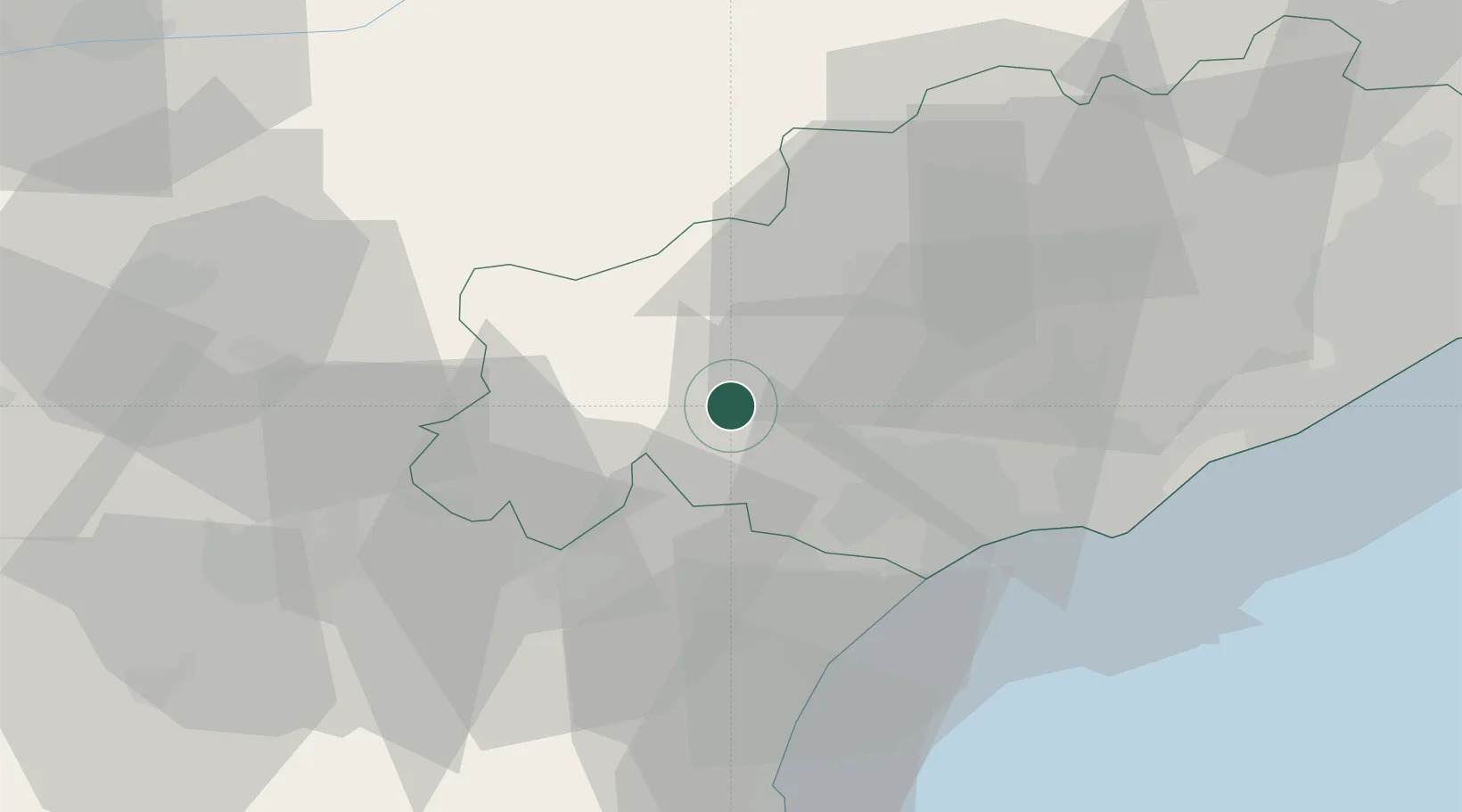
Prades-sur-Vernazobre

43.4500°, 2.9833°
266
Population
1
Transport functions

Transport Functions

Multimodal
UN/LOCODE

Hub Profile

Place type
Populated place
GeoNames
Region
Occitanie
GeoNames
Population
266
GeoNames
Time zone
Europe/Paris
GeoNames
Elevation
105 m
GeoNames

Location

Location of FRPV2
Natural Earth 10m (public domain) · Occitanie · FRPV2 · 43.45, 2.98GoogleOSMYandex

Nearby Logistics Neighbours

Cities
  1. 1Berlou5 km
  2. 2Saint-Chinian5 km
  3. 3Causses-et-Veyran8 km
  4. 4Villespassans9 km
  5. 5Creissan10 km
Nearest neighbours — logibook spatial index (haversine) over the source coordinates
Ports
  1. 1Port-La-Nouvelle49 km
  2. 2Sete58 km
  3. 3Port-Vendres104 km
  4. 4Rosas133 km
  5. 5Port Saint Louis Du Rhone148 km
Nearest neighbours — logibook spatial index (haversine) over the source coordinates
Airports
  1. 1Béziers Vias airport33 km
  2. 2Castres Mazamet Airport57 km
  3. 3Carcassonne Salvaza Airport61 km
  4. 4Perpignan-Rivesaltes (Llabanère) Airport79 km
  5. 5Montpellier-Méditerranée Airport80 km
Nearest neighbours — logibook spatial index (haversine) over the source coordinates
Trade Zones
  1. 1ZFU Béziers23 km
  2. 2ZFU Montpellier72 km
  3. 3ZFU Perpignan84 km
  4. 4ZFU Nîmes117 km
  5. 5ZFU Toulouse126 km
Nearest neighbours — logibook spatial index (haversine) over the source coordinates
DatabookThe Record of Consolidated Knowledge
France beyond logistics?
Browse databook

All Sources

LocationsUN/LOCODE
UN/LOCODE — free
LocationsGeoNames
CC BY 4.0
Portsthe NGA World Port Index
Public domain (US gov)
AirportsOurAirports
Public domain
Trade Zonesthe World Bank SEZ database
CC BY 4.0
Trade ZonesOpen Zone Map
CC BY
← France locations