Transport Functions
Road
Multimodal
Hub Profile
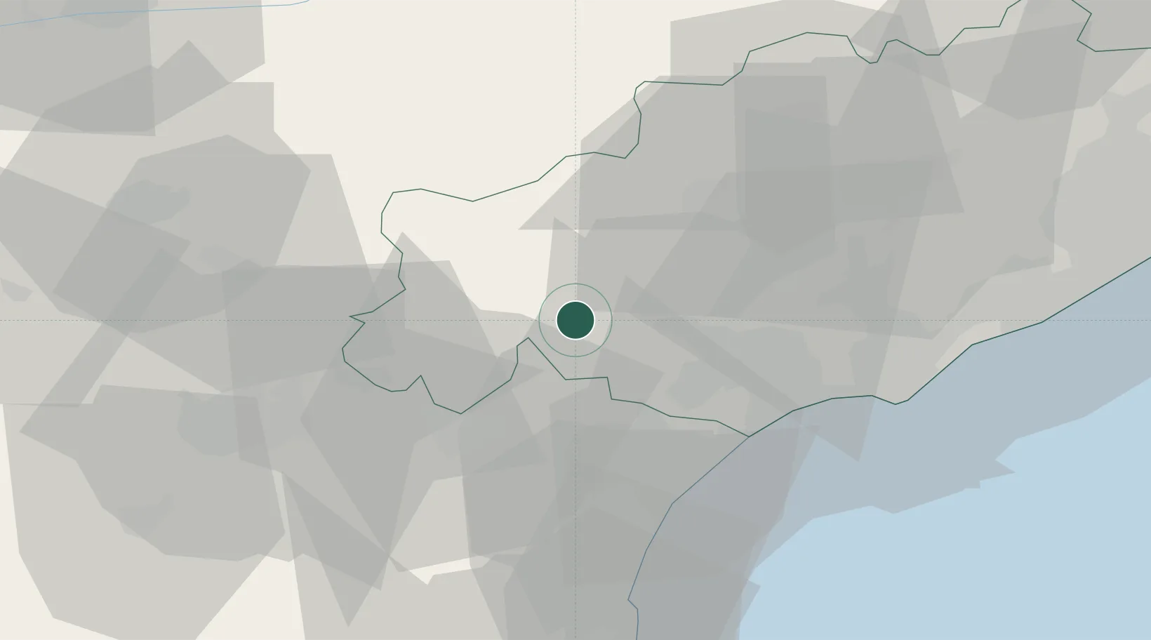
Place type
Populated place
Region
Occitanie
Population
2,004
Time zone
Europe/Paris
Elevation
126 m
Location
Nearby Logistics Neighbours
Cities
- 1Prades-sur-Vernazobre5 km
- 2Villespassans5 km
- 3Berlou7 km
- 4Cruzy7 km
- 5Creissan8 km
Ports
- 1Port-La-Nouvelle46 km
- 2Sete61 km
- 3Port-Vendres101 km
- 4Rosas129 km
- 5Port Saint Louis Du Rhone151 km
Airports
Trade Zones
- 1ZFU Béziers23 km
- 2ZFU Montpellier75 km
- 3ZFU Perpignan80 km
- 4ZFU Nîmes121 km
- 5ZFU Toulouse123 km
DatabookThe Record of Consolidated Knowledge
France beyond logistics?