Transport Functions
Multimodal
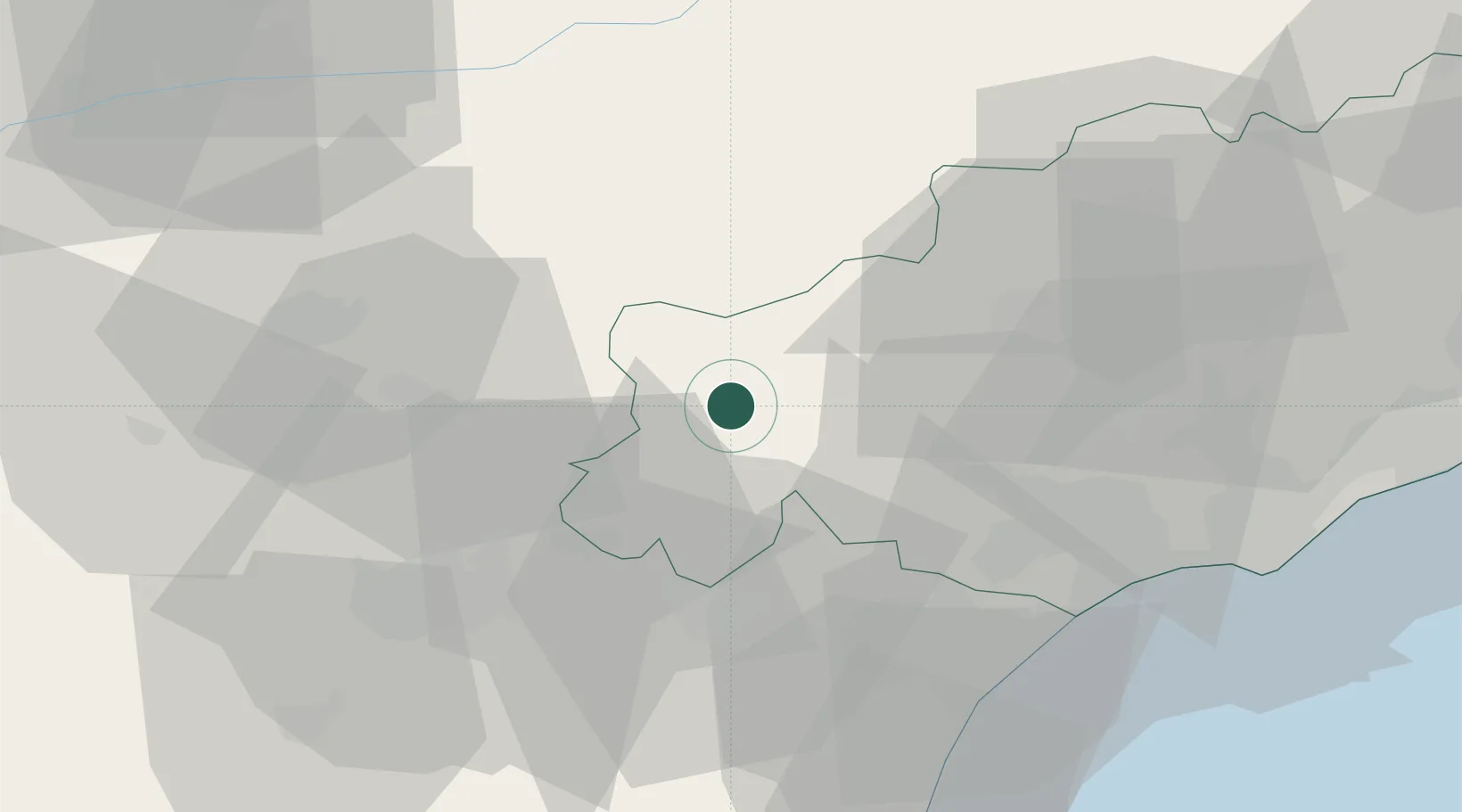
Hub Profile
Place type
Populated place
Region
Occitanie
Population
772
Time zone
Europe/Paris
Elevation
279 m
Location
Nearby Logistics Neighbours
Cities
- 1Olargues12 km
- 2Berlou14 km
- 3Saint-Jean-de-Minervois14 km
- 4Saint-Chinian16 km
- 5Villespassans17 km
Ports
- 1Port-La-Nouvelle58 km
- 2Sete75 km
- 3Port-Vendres113 km
- 4Rosas141 km
- 5Port Saint Louis Du Rhone165 km
Airports
Trade Zones
- 1ZFU Béziers39 km
- 2ZFU Montpellier86 km
- 3ZFU Perpignan89 km
- 4ZFU Toulouse109 km
- 5ZFU Nîmes131 km
DatabookThe Record of Consolidated Knowledge
France beyond logistics?