Medium airport · France
Montpellier-Méditerranée AirportLFMT
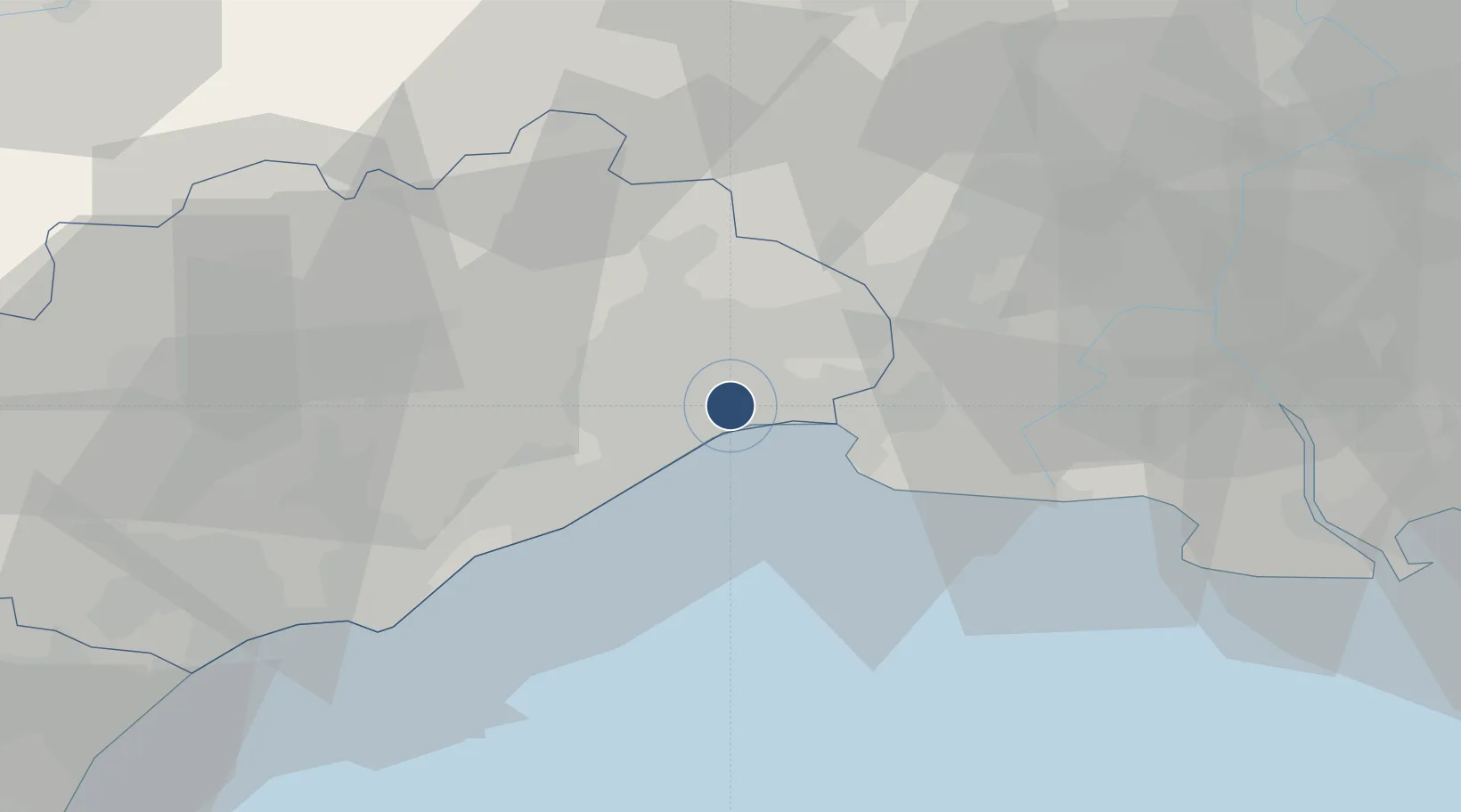
43.5762°, 3.9630°
8,530 ft
Longest runway
2
Runways
17 ft
Elevation
Runway & Layout

Radio Frequencies
ATIS
124.125 MHz
MONTPELLIER ATIS
TWR
118.2 MHz
MONTPELLIER TWR South sector
TWR
118.775 MHz
MONTPELLIER TWR North sector
GND
121.95 MHz
MONTPELLIER GND
APP
120.375 MHz
MONTPELLIER APP
Navaids
FJR VOR-DME Mediterranee 114.45 MHz
Runways · 2
| Runway | Dimensions | Surface | True heading | Lit |
|---|---|---|---|---|
| 12L/30R | 8,530 × 164ft | Asphalt | 124° | ✓ |
| 12R/30L | 3,609 × 98ft | Asphalt | 124° | — |
Airport Specifications
IATA code
MPL
ICAO code
LFMT
Airport class
Medium airport
Scheduled service
Yes
Runway surface
Asphalt
Served city
Montpellier/Méditerranée
Location
Nearby Logistics Neighbours
Airports
- 1Nîmes-Arles-Camargue Airport42 km
- 2Béziers Vias airport57 km
- 3Aérodrome d'Alès Cévennes57 km
- 4Istres-Le Tubé Air Base78 km
- 5Avignon Caumont airport84 km
Cities
- 1Mauguio6 km
- 2Mudaison8 km
- 3Candillargues10 km
- 4La Grande-Motte10 km
- 5Clapiers10 km
Ports
- 1Sete29 km
- 2Port Saint Louis Du Rhone72 km
- 3Fos76 km
- 4Port-de-Bouc85 km
- 5Port-La-Nouvelle96 km
Trade Zones
- 1ZFU Montpellier10 km
- 2ZFU Nîmes41 km
- 3ZFU Béziers66 km
- 4ZFU Avignon79 km
- 5ZFU Saint-Barthélémy, Le Canet, Delorme-Paternelle108 km
DatabookThe Record of Consolidated Knowledge
France beyond logistics?