Transport Functions
Rail
Road
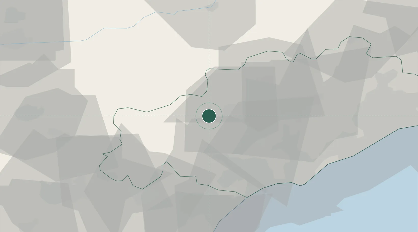
Hub Profile
Place type
Populated place
Region
Occitanie
Population
296
Time zone
Europe/Paris
Elevation
518 m
Location
Nearby Logistics Neighbours
Cities
- 1La Tour-sur-Orb9 km
- 2Caussiniojouls9 km
- 3Faugères10 km
- 4Olargues13 km
- 5Roquessels13 km
Ports
- 1Sete56 km
- 2Port-La-Nouvelle65 km
- 3Port-Vendres121 km
- 4Port Saint Louis Du Rhone143 km
- 5Fos148 km
Airports
Trade Zones
- 1ZFU Béziers32 km
- 2ZFU Montpellier63 km
- 3ZFU Perpignan101 km
- 4ZFU Nîmes106 km
- 5ZFU Toulouse131 km
DatabookThe Record of Consolidated Knowledge
France beyond logistics?