Transport Functions
Port
Multimodal
Hub Profile
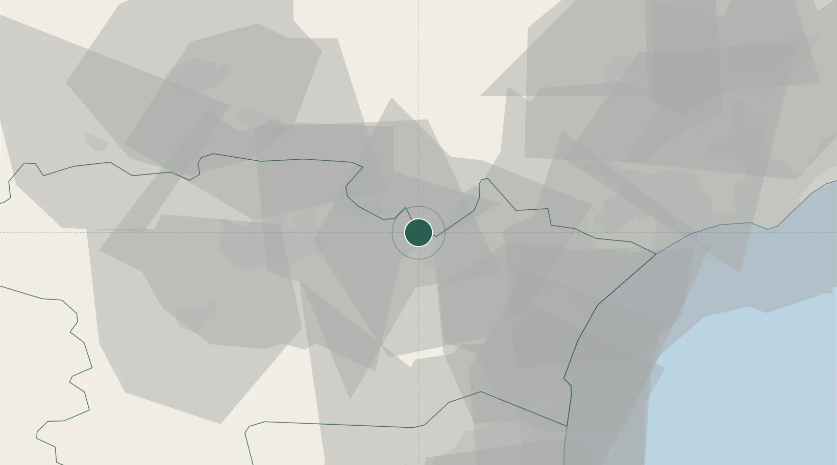
Place type
Populated place
Region
Occitanie
Population
640
Time zone
Europe/Paris
Elevation
51 m
Location
Nearby Logistics Neighbours
Cities
- 1Olonzac2 km
- 2Tourouzelle2 km
- 3Pépieux4 km
- 4Azille5 km
- 5Argens-Minervois5 km
Ports
- 1Port-La-Nouvelle40 km
- 2Sete81 km
- 3Port-Vendres90 km
- 4Rosas118 km
- 5Palamos163 km
Airports
Trade Zones
- 1ZFU Béziers41 km
- 2ZFU Perpignan65 km
- 3ZFU Montpellier99 km
- 4ZFU Toulouse110 km
- 5ZFU Nîmes145 km
DatabookThe Record of Consolidated Knowledge
France beyond logistics?