Transport Functions
Port
Multimodal
Hub Profile
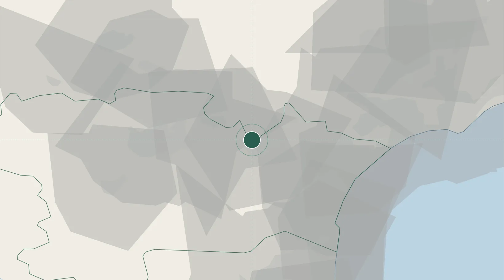
Place type
Populated place
Region
Occitanie
Population
477
Time zone
Europe/Paris
Elevation
75 m
Location
Nearby Logistics Neighbours
Cities
- 1Homps2 km
- 2Argens-Minervois2 km
- 3Olonzac4 km
- 4Roubia5 km
- 5Pépieux6 km
Ports
- 1Port-La-Nouvelle38 km
- 2Sete80 km
- 3Port-Vendres87 km
- 4Rosas115 km
- 5Palamos161 km
Airports
Trade Zones
- 1ZFU Béziers40 km
- 2ZFU Perpignan63 km
- 3ZFU Montpellier98 km
- 4ZFU Toulouse112 km
- 5ZFU Nîmes145 km
DatabookThe Record of Consolidated Knowledge
France beyond logistics?