Transport Functions
Port
Multimodal
Hub Profile
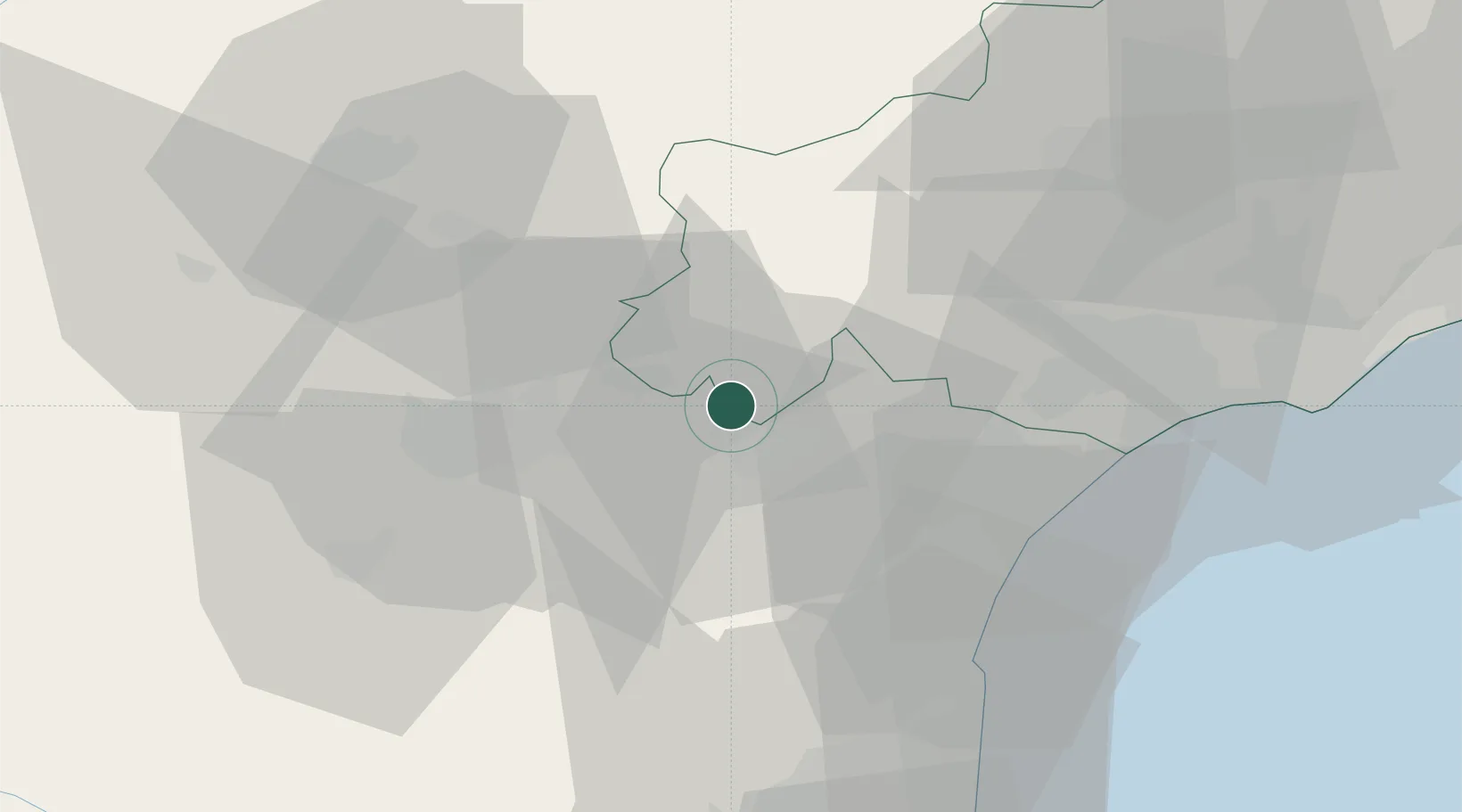
Place type
Populated place
Region
Occitanie
Population
1,633
Time zone
Europe/Paris
Elevation
54 m
Location
Nearby Logistics Neighbours
Cities
- 1Homps2 km
- 2Pépieux2 km
- 3Azillanet4 km
- 4Tourouzelle4 km
- 5Azille4 km
Ports
- 1Port-La-Nouvelle41 km
- 2Sete81 km
- 3Port-Vendres91 km
- 4Rosas119 km
- 5Palamos165 km
Airports
Trade Zones
- 1ZFU Béziers41 km
- 2ZFU Perpignan67 km
- 3ZFU Montpellier98 km
- 4ZFU Toulouse109 km
- 5ZFU Nîmes144 km
DatabookThe Record of Consolidated Knowledge
France beyond logistics?