Transport Functions
Road
Multimodal
Hub Profile
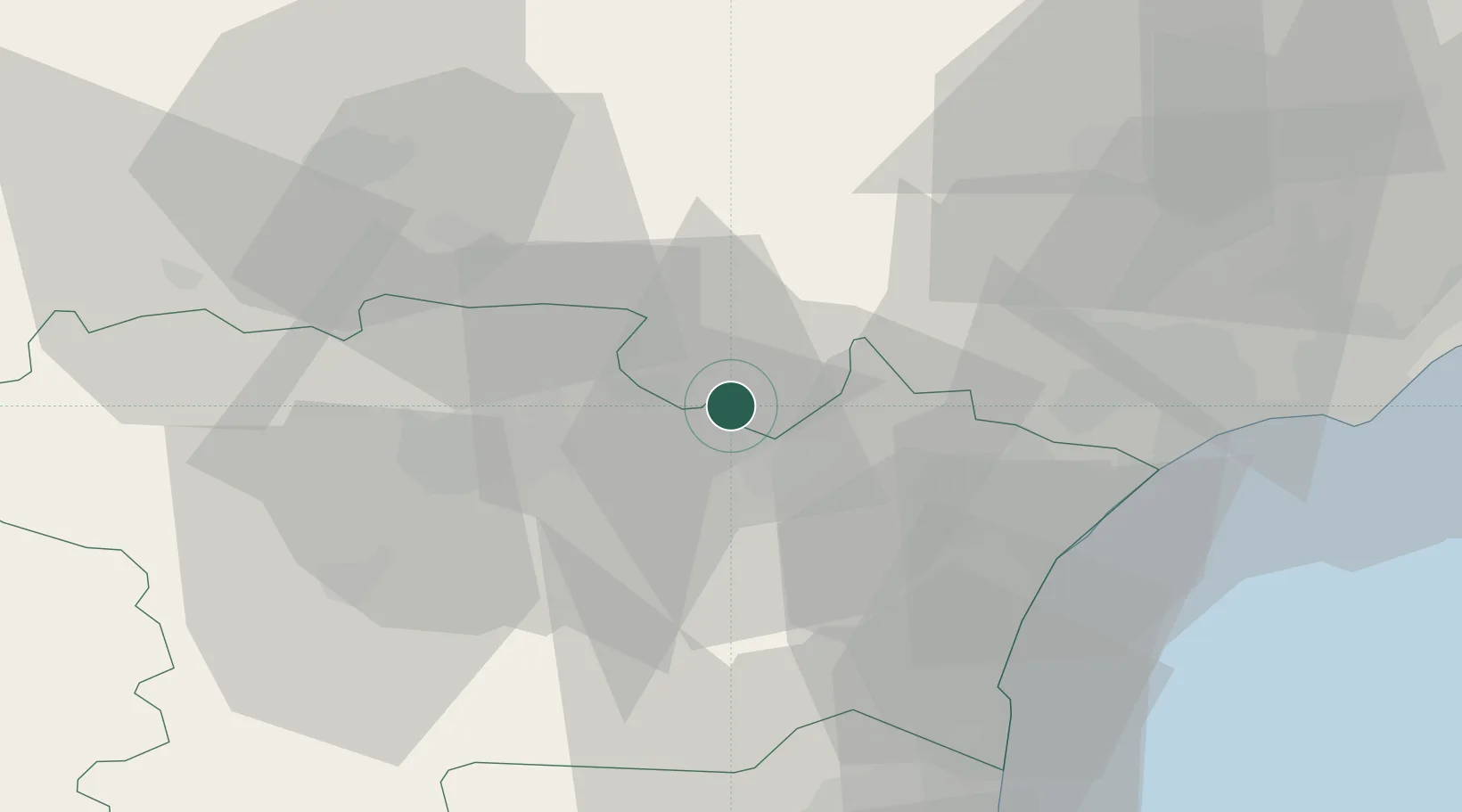
Place type
Populated place
Region
Occitanie
Population
1,072
Time zone
Europe/Paris
Elevation
90 m
Location
Nearby Logistics Neighbours
Ports
- 1Port-La-Nouvelle43 km
- 2Sete82 km
- 3Port-Vendres94 km
- 4Rosas122 km
- 5Palamos167 km
Airports
Trade Zones
- 1ZFU Béziers42 km
- 2ZFU Perpignan69 km
- 3ZFU Montpellier99 km
- 4ZFU Toulouse107 km
- 5ZFU Nîmes145 km
DatabookThe Record of Consolidated Knowledge
France beyond logistics?