Transport Functions
Port
Hub Profile
Place type
Populated place
Region
Occitanie
Population
1,086
Time zone
Europe/Paris
Elevation
92 m
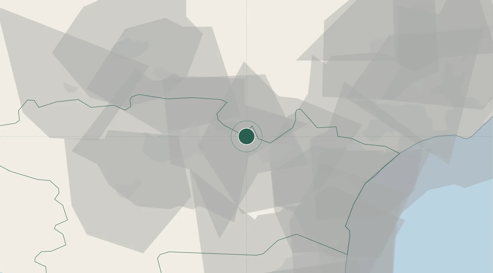
Location
Nearby Logistics Neighbours
Cities
- 1Pépieux3 km
- 2Siran4 km
- 3Olonzac4 km
- 4Homps5 km
- 5La Redorte5 km
Ports
- 1Port-La-Nouvelle44 km
- 2Sete85 km
- 3Port-Vendres93 km
- 4Rosas121 km
- 5Palamos165 km
Airports
Trade Zones
- 1ZFU Béziers45 km
- 2ZFU Perpignan68 km
- 3ZFU Montpellier102 km
- 4ZFU Toulouse105 km
- 5ZFU Nîmes148 km
DatabookThe Record of Consolidated Knowledge
France beyond logistics?