Transport Functions
Road
Multimodal
Hub Profile
Place type
Populated place
Region
Occitanie
Time zone
Europe/Paris
Elevation
54 m
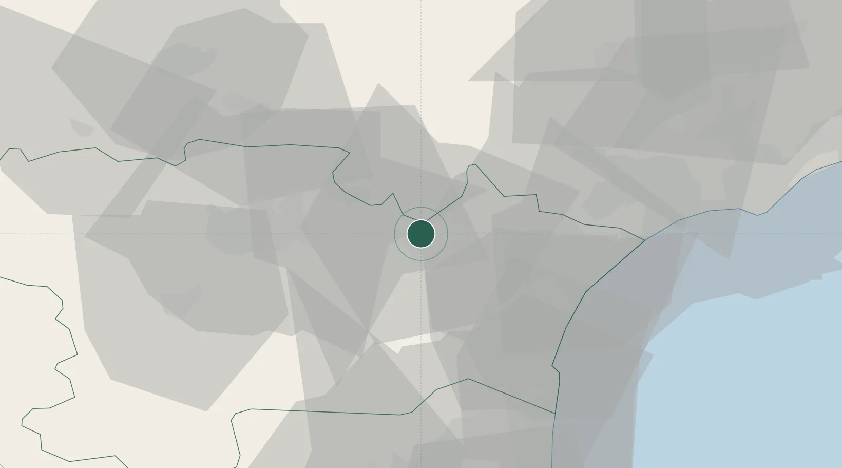
Location
Nearby Logistics Neighbours
Cities
- 1Tourouzelle2 km
- 2Roubia5 km
- 3Homps5 km
- 4Olonzac6 km
- 5Conilhac-Corbières6 km
Ports
- 1Port-La-Nouvelle35 km
- 2Sete79 km
- 3Port-Vendres85 km
- 4Rosas113 km
- 5Palamos159 km
Airports
Trade Zones
- 1ZFU Béziers39 km
- 2ZFU Perpignan61 km
- 3ZFU Montpellier98 km
- 4ZFU Toulouse113 km
- 5ZFU Nîmes144 km
DatabookThe Record of Consolidated Knowledge
France beyond logistics?