Transport Functions
Rail
Road
Hub Profile
Place type
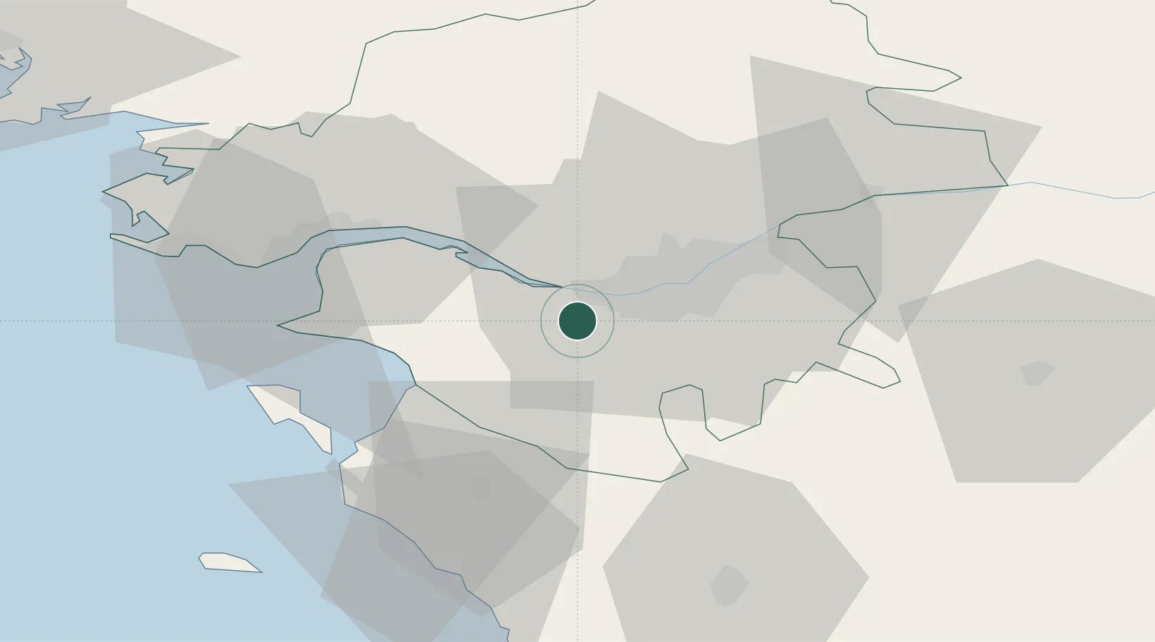
Populated place
Region
Pays de la Loire
Population
5,673
Time zone
Europe/Paris
Elevation
17 m
Location
Nearby Logistics Neighbours
Cities
- 1Saint-Léger-les-Vignes3 km
- 2Indre6 km
- 3Bouguenais7 km
- 4Saint-Philbert-de-Grand-Lieu10 km
- 5Rezé12 km
Ports
- 1Nantes12 km
- 2Donges32 km
- 3Montoir37 km
- 4St Nazaire41 km
- 5Les Sables D' Olonne73 km
Airports
Trade Zones
- 1ZFU Nantes et Saint-Herblain8 km
- 2ZFU Saint-Nazaire46 km
- 3ZFU Angers91 km
- 4ZFU La Rochelle116 km
- 5ZFU Le Mans165 km
DatabookThe Record of Consolidated Knowledge
France beyond logistics?