Transport Functions
Rail
Road
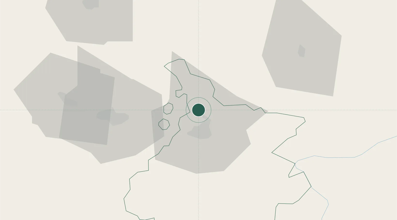
Hub Profile
Place type
Populated place
Region
Occitanie
Population
614
Time zone
Europe/Paris
Elevation
239 m
Location
Nearby Logistics Neighbours
Cities
- 1Rabastens-de-Bigorre8 km
- 2Ponson-Dessus10 km
- 3Tarbes13 km
- 4Séméac14 km
- 5Moncaup18 km
Ports
- 1Bayonne125 km
- 2Puerto De Pasajes162 km
- 3Bordeaux176 km
- 4Ambes191 km
- 5Blaye207 km
Airports
Trade Zones
- 1ZFU Toulouse115 km
- 2Depósito Franco de Pasajes (Guipúzcoa)161 km
- 3ZFU Hauts de Garonne172 km
- 4Port de Bordeaux180 km
- 5Depósito Franco de Zaragoza202 km
DatabookThe Record of Consolidated Knowledge
France beyond logistics?