UN/LOCODE hub · France
FRRR8

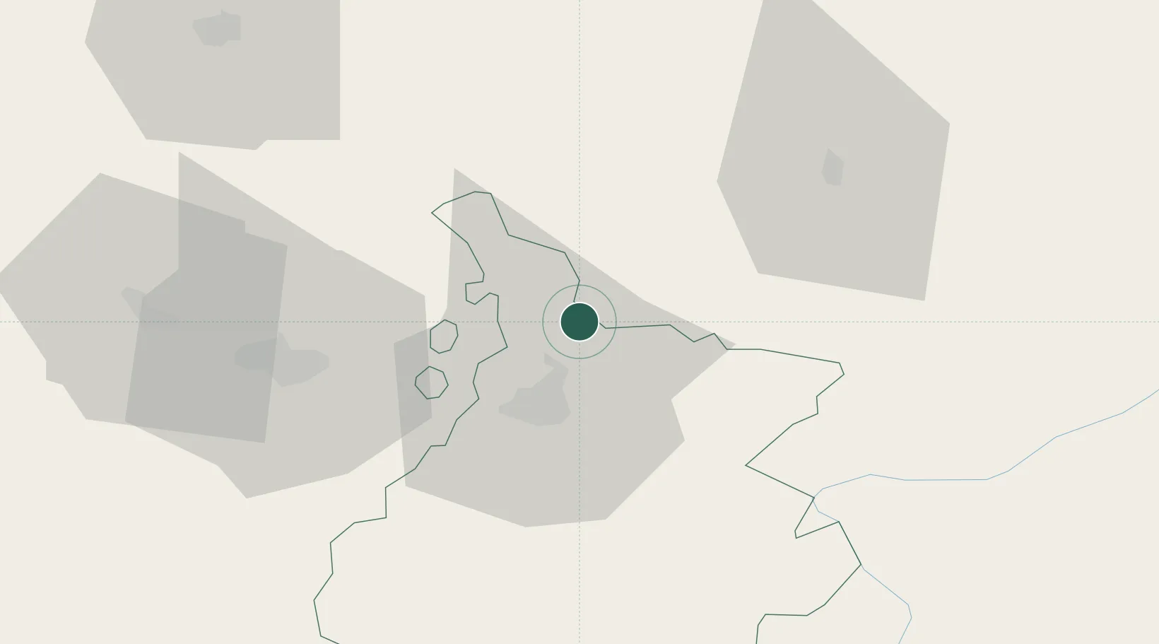
Rabastens-de-Bigorre

43.3833°, 0.1500°
1,391
Population
2
Transport functions

Transport Functions

Road
Multimodal
UN/LOCODE

Hub Profile

Place type
Populated place
GeoNames
Region
Occitanie
GeoNames
Population
1,391
GeoNames
Time zone
Europe/Paris
GeoNames
Elevation
222 m
GeoNames

Location

Location of FRRR8
Natural Earth 10m (public domain) · Occitanie · FRRR8 · 43.38, 0.15GoogleOSMYandex

Nearby Logistics Neighbours

Cities
  1. 1Pujo8 km
  2. 2Castex14 km
  3. 3Marciac17 km
  4. 4Séméac17 km
  5. 5Ponson-Dessus18 km
Nearest neighbours — logibook spatial index (haversine) over the source coordinates
Ports
  1. 1Bayonne131 km
  2. 2Puerto De Pasajes169 km
  3. 3Bordeaux175 km
  4. 4Ambes190 km
  5. 5Blaye205 km
Nearest neighbours — logibook spatial index (haversine) over the source coordinates
Airports
  1. 1Tarbes-Lourdes-Pyrénées Airport26 km
  2. 2Pau Pyrénées Airport46 km
  3. 3Auch Gers Airfield49 km
  4. 4Mont-de-Marsan (BA 118) Air Base79 km
  5. 5Aérodrome de Saint-Girons - Antichan88 km
Nearest neighbours — logibook spatial index (haversine) over the source coordinates
Trade Zones
  1. 1ZFU Toulouse107 km
  2. 2Depósito Franco de Pasajes (Guipúzcoa)168 km
  3. 3ZFU Hauts de Garonne171 km
  4. 4Port de Bordeaux178 km
  5. 5Depósito Franco de Zaragoza208 km
Nearest neighbours — logibook spatial index (haversine) over the source coordinates
DatabookThe Record of Consolidated Knowledge
France beyond logistics?
Browse databook

All Sources

LocationsUN/LOCODE
UN/LOCODE — free
LocationsGeoNames
CC BY 4.0
Portsthe NGA World Port Index
Public domain (US gov)
AirportsOurAirports
Public domain
Trade Zonesthe World Bank SEZ database
CC BY 4.0
Trade ZonesOpen Zone Map
CC BY
← France locations