Transport Functions
Rail
Road
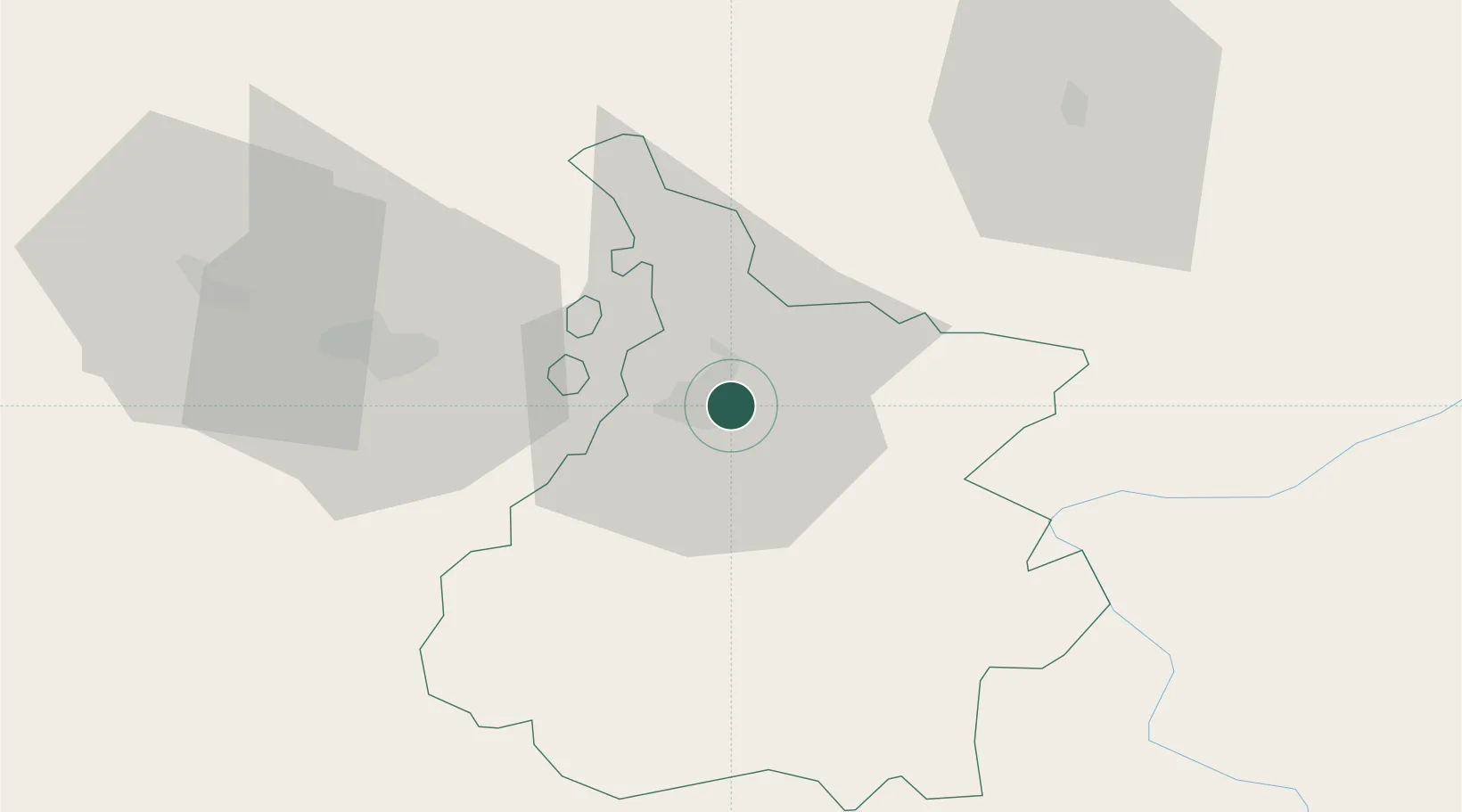
Hub Profile
Place type
Populated place
Region
Occitanie
Population
4,999
Time zone
Europe/Paris
Elevation
323 m
Location
Nearby Logistics Neighbours
Cities
- 1Tarbes4 km
- 2Momères6 km
- 3Pujo14 km
- 4Ponson-Dessus16 km
- 5Rabastens-de-Bigorre17 km
Ports
- 1Bayonne131 km
- 2Puerto De Pasajes166 km
- 3Bordeaux190 km
- 4Ambes205 km
- 5Blaye220 km
Airports
Trade Zones
- 1ZFU Toulouse115 km
- 2Depósito Franco de Pasajes (Guipúzcoa)165 km
- 3ZFU Hauts de Garonne186 km
- 4Depósito Franco de Zaragoza191 km
- 5Port de Bordeaux194 km
DatabookThe Record of Consolidated Knowledge
France beyond logistics?