Transport Functions
Multimodal
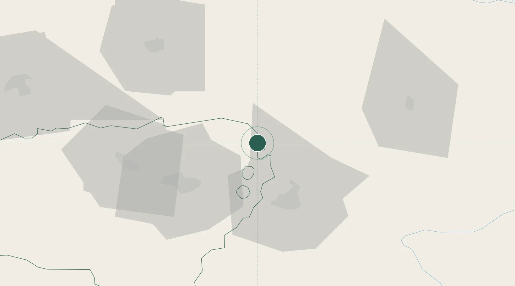
Hub Profile
Place type
Populated place
Region
Nouvelle-Aquitaine
Population
153
Time zone
Europe/Paris
Elevation
274 m
Location
Nearby Logistics Neighbours
Cities
- 1Aurions-Idernes9 km
- 2Viella13 km
- 3Saint-Lanne13 km
- 4Pujo18 km
- 5Marciac18 km
Ports
- 1Bayonne114 km
- 2Puerto De Pasajes153 km
- 3Bordeaux159 km
- 4Ambes175 km
- 5Blaye190 km
Airports
Trade Zones
- 1ZFU Toulouse121 km
- 2Depósito Franco de Pasajes (Guipúzcoa)152 km
- 3ZFU Hauts de Garonne155 km
- 4Port de Bordeaux163 km
- 5Depósito Franco de Zaragoza213 km
DatabookThe Record of Consolidated Knowledge
France beyond logistics?