Transport Functions
Multimodal
Hub Profile
Place type
Populated place
Region
Nouvelle-Aquitaine
Population
249
Time zone
Europe/Paris
Elevation
364 m
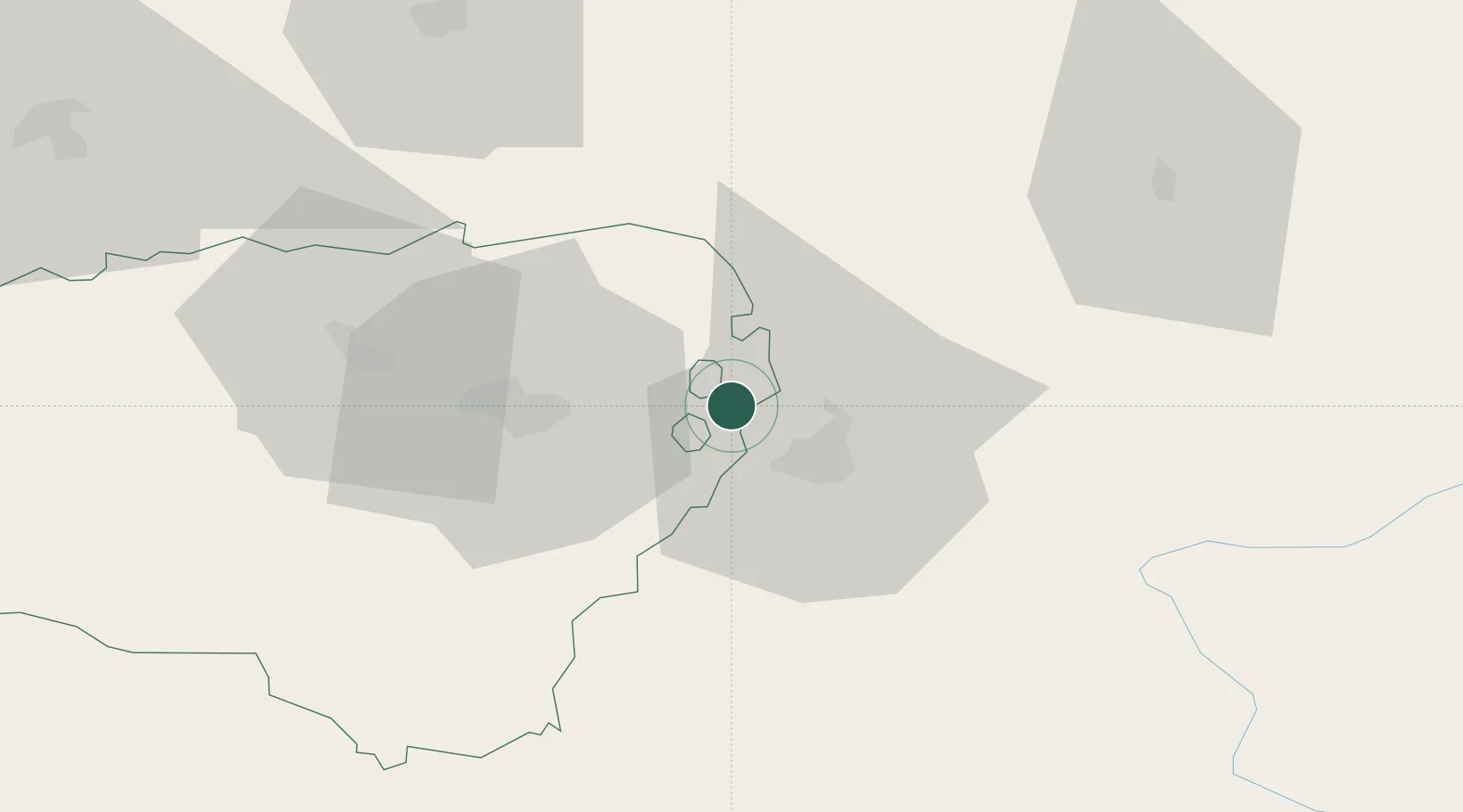
Location
Nearby Logistics Neighbours
Cities
- 1Pujo10 km
- 2Tarbes13 km
- 3Séméac16 km
- 4Rabastens-de-Bigorre18 km
- 5Momères18 km
Ports
- 1Bayonne116 km
- 2Puerto De Pasajes152 km
- 3Bordeaux177 km
- 4Ambes193 km
- 5Blaye208 km
Airports
Trade Zones
- 1ZFU Toulouse125 km
- 2Depósito Franco de Pasajes (Guipúzcoa)151 km
- 3ZFU Hauts de Garonne173 km
- 4Port de Bordeaux181 km
- 5Depósito Franco de Zaragoza195 km
DatabookThe Record of Consolidated Knowledge
France beyond logistics?