Transport Functions
Rail
Airport
Hub Profile
Place type
Provincial seat
Region
Occitanie
Population
52,106
Time zone
Europe/Paris
Elevation
316 m
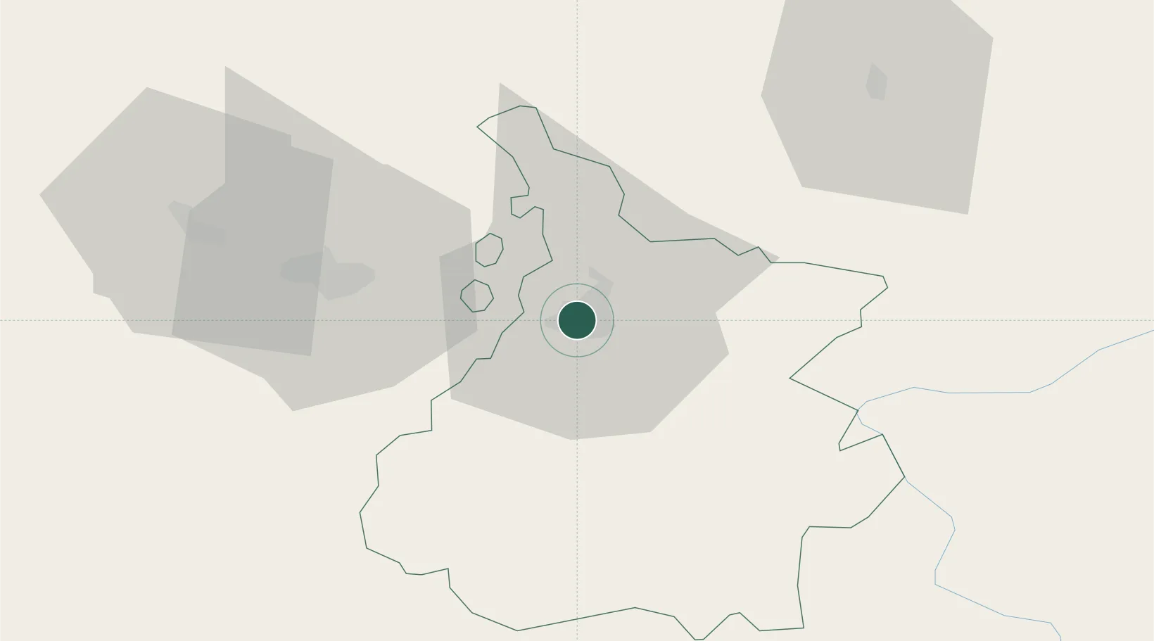
Location
Nearby Logistics Neighbours
Cities
- 1Séméac4 km
- 2Momères6 km
- 3Pujo13 km
- 4Ponson-Dessus13 km
- 5Rabastens-de-Bigorre18 km
Ports
- 1Bayonne127 km
- 2Puerto De Pasajes162 km
- 3Bordeaux189 km
- 4Ambes204 km
- 5Blaye219 km
Airports
Trade Zones
- 1ZFU Toulouse119 km
- 2Depósito Franco de Pasajes (Guipúzcoa)161 km
- 3ZFU Hauts de Garonne185 km
- 4Depósito Franco de Zaragoza190 km
- 5Port de Bordeaux193 km
DatabookThe Record of Consolidated Knowledge
France beyond logistics?