UN/LOCODE hub · France
FRAZR

Arzal

47.5167°, -2.3667°
986
Population
1
Transport functions

Transport Functions

Multimodal
UN/LOCODE

Hub Profile

Place type
Populated place
GeoNames
Region
Brittany
GeoNames
Population
986
GeoNames
Time zone
Europe/Paris
GeoNames
Elevation
44 m
GeoNames

Location

Location of FRAZR
Natural Earth 10m (public domain) · Brittany · FRAZR · 47.52, -2.37GoogleOSMYandex

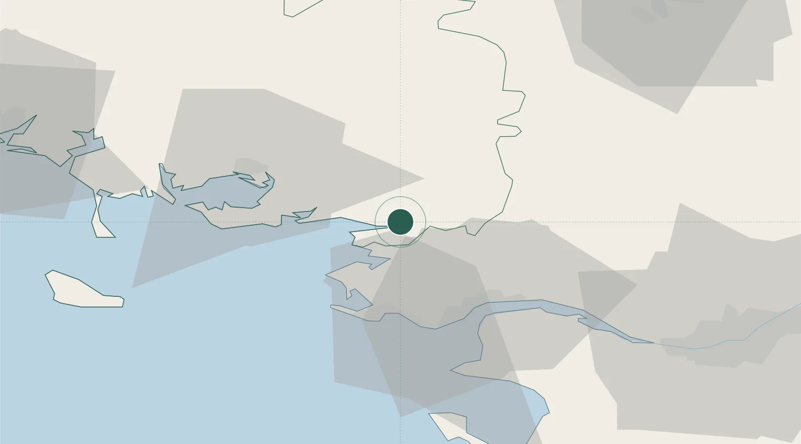
Nearby Logistics Neighbours

Cities
  1. 1Cournon1 km
  2. 2Péaule7 km
  3. 3Muzillac10 km
  4. 4Damgan16 km
  5. 5Lauzach17 km
Nearest neighbours — logibook spatial index (haversine) over the source coordinates
Ports
  1. 1St Nazaire29 km
  2. 2Montoir30 km
  3. 3Donges33 km
  4. 4Nantes70 km
  5. 5Lorient78 km
Nearest neighbours — logibook spatial index (haversine) over the source coordinates
Airports
  1. 1La Baule-Escoublac Airport25 km
  2. 2Saint-Nazaire-Montoir Airport28 km
  3. 3Vannes-Meucon Airport35 km
  4. 4Aérodrome de Belle Île66 km
  5. 5Nantes Atlantique Airport70 km
Nearest neighbours — logibook spatial index (haversine) over the source coordinates
Trade Zones
  1. 1ZFU Saint-Nazaire28 km
  2. 2ZFU Nantes et Saint-Herblain60 km
  3. 3ZFU Angers133 km
  4. 4ZFU La Rochelle174 km
  5. 5ZFU Le Mans193 km
Nearest neighbours — logibook spatial index (haversine) over the source coordinates
DatabookThe Record of Consolidated Knowledge
France beyond logistics?
Browse databook

All Sources

LocationsUN/LOCODE
UN/LOCODE — free
LocationsGeoNames
CC BY 4.0
Portsthe NGA World Port Index
Public domain (US gov)
AirportsOurAirports
Public domain
Trade Zonesthe World Bank SEZ database
CC BY 4.0
Trade ZonesOpen Zone Map
CC BY
← France locations