Transport Functions
Port
Hub Profile
Place type
Populated place
Region
Brittany
Population
8,062
Time zone
Europe/Paris
Elevation
44 m
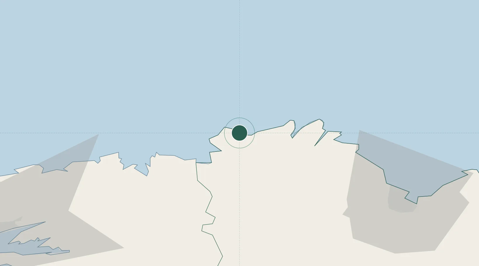
Location
Nearby Logistics Neighbours
Cities
- 1Lannion9 km
- 2Trébeurden10 km
- 3Trédrez-Locquémeau16 km
- 4Plouguiel16 km
- 5Plougrescant16 km
Ports
- 1Treguier16 km
- 2Pontrieux25 km
- 3Lezardrieux26 km
- 4Paimpol30 km
- 5Morlaix38 km
Airports
- 1Lannion Airport7 km
- 2Morlaix-Ploujean Airport36 km
- 3Saint-Brieuc-Armor Airport54 km
- 4Landivisiau Air Base61 km
- 5Brest Bretagne airport82 km
Trade Zones
- 1ZFU Cherbourg-Octeville159 km
- 2Oceansgate Plymouth181 km
- 3Heart of the South West Enterprise Zone182 km
- 4ZFU Saint-Nazaire192 km
- 5Cornwall Newquay Aerohub Enterprise Zone211 km
DatabookThe Record of Consolidated Knowledge
France beyond logistics?