Transport Functions
Port
Road
Hub Profile
Place type
Populated place
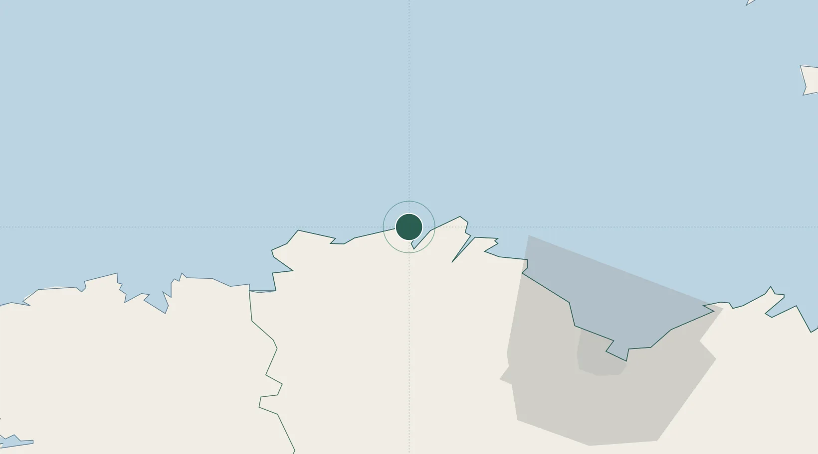
Region
Brittany
Population
1,462
Time zone
Europe/Paris
Elevation
55 m
Location
Nearby Logistics Neighbours
Cities
- 1Plouguiel6 km
- 2Minihy-Tréguier7 km
- 3Tréguier7 km
- 4Trédarzec8 km
- 5Lanmodez10 km
Ports
- 1Treguier7 km
- 2Lezardrieux12 km
- 3Paimpol15 km
- 4Pontrieux17 km
- 5Le Legue50 km
Airports
- 1Lannion Airport20 km
- 2Saint-Brieuc-Armor Airport45 km
- 3Morlaix-Ploujean Airport51 km
- 4Landivisiau Air Base76 km
- 5Guernsey Airport80 km
Trade Zones
- 1ZFU Cherbourg-Octeville144 km
- 2Oceansgate Plymouth182 km
- 3Heart of the South West Enterprise Zone183 km
- 4ZFU Saint-Nazaire189 km
- 5ZFU La Guérinière, La Grâce de Dieu209 km
DatabookThe Record of Consolidated Knowledge
France beyond logistics?