UN/LOCODE hub · France
FRPGZ

Plouguiel

48.8000°, -3.2333°
1,962
Population
1
Transport functions

Transport Functions

Multimodal
UN/LOCODE

Hub Profile

Place type
Populated place
GeoNames
Region
Brittany
GeoNames
Population
1,962
GeoNames
Time zone
Europe/Paris
GeoNames
Elevation
62 m
GeoNames

Location

Location of FRPGZ
Natural Earth 10m (public domain) · Brittany · FRPGZ · 48.80, -3.23GoogleOSMYandex

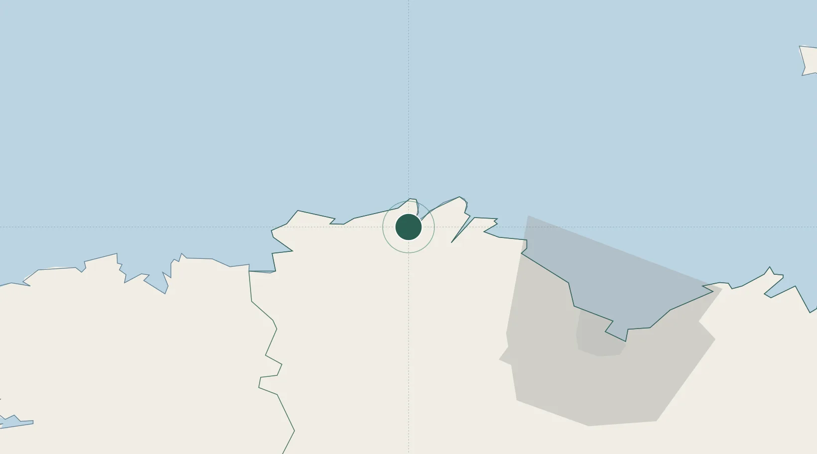
Nearby Logistics Neighbours

Cities
  1. 1Minihy-Tréguier2 km
  2. 2Tréguier2 km
  3. 3Trédarzec3 km
  4. 4Plougrescant6 km
  5. 5Lézardrieux10 km
Nearest neighbours — logibook spatial index (haversine) over the source coordinates
Ports
  1. 1Treguier2 km
  2. 2Lezardrieux10 km
  3. 3Pontrieux12 km
  4. 4Paimpol14 km
  5. 5Le Legue46 km
Nearest neighbours — logibook spatial index (haversine) over the source coordinates
Airports
  1. 1Lannion Airport18 km
  2. 2Saint-Brieuc-Armor Airport40 km
  3. 3Morlaix-Ploujean Airport48 km
  4. 4Landivisiau Air Base74 km
  5. 5Guernsey Airport84 km
Nearest neighbours — logibook spatial index (haversine) over the source coordinates
Trade Zones
  1. 1ZFU Cherbourg-Octeville147 km
  2. 2ZFU Saint-Nazaire184 km
  3. 3Oceansgate Plymouth188 km
  4. 4Heart of the South West Enterprise Zone188 km
  5. 5ZFU Nantes et Saint-Herblain209 km
Nearest neighbours — logibook spatial index (haversine) over the source coordinates
DatabookThe Record of Consolidated Knowledge
France beyond logistics?
Browse databook

All Sources

LocationsUN/LOCODE
UN/LOCODE — free
LocationsGeoNames
CC BY 4.0
Portsthe NGA World Port Index
Public domain (US gov)
AirportsOurAirports
Public domain
Trade Zonesthe World Bank SEZ database
CC BY 4.0
Trade ZonesOpen Zone Map
CC BY
← France locations