Transport Functions
Road
Multimodal
Hub Profile
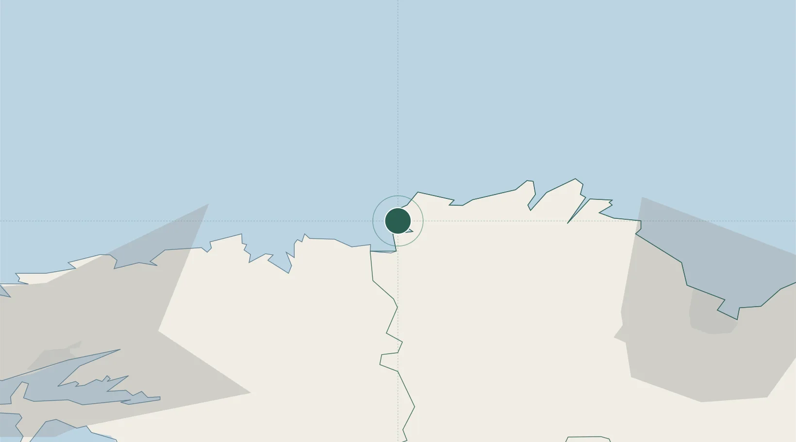
Place type
Populated place
Region
Brittany
Population
3,617
Time zone
Europe/Paris
Elevation
69 m
Location
Nearby Logistics Neighbours
Cities
- 1Trédrez-Locquémeau7 km
- 2Lannion9 km
- 3Locquirec10 km
- 4Perros-Guirec10 km
- 5Guimaëc15 km
Ports
- 1Treguier25 km
- 2Morlaix28 km
- 3Port De Roscoff-Bloscon31 km
- 4Pontrieux32 km
- 5Lezardrieux34 km
Airports
- 1Lannion Airport7 km
- 2Morlaix-Ploujean Airport26 km
- 3Landivisiau Air Base50 km
- 4Saint-Brieuc-Armor Airport58 km
- 5Brest Bretagne airport72 km
Trade Zones
- 1ZFU Cherbourg-Octeville169 km
- 2Oceansgate Plymouth184 km
- 3Heart of the South West Enterprise Zone185 km
- 4ZFU Saint-Nazaire192 km
- 5Cornwall Newquay Aerohub Enterprise Zone212 km
DatabookThe Record of Consolidated Knowledge
France beyond logistics?