Transport Functions
Port
Airport
Hub Profile
Place type
District seat
Region
Brittany
Population
21,473
Time zone
Europe/Paris
Elevation
30 m
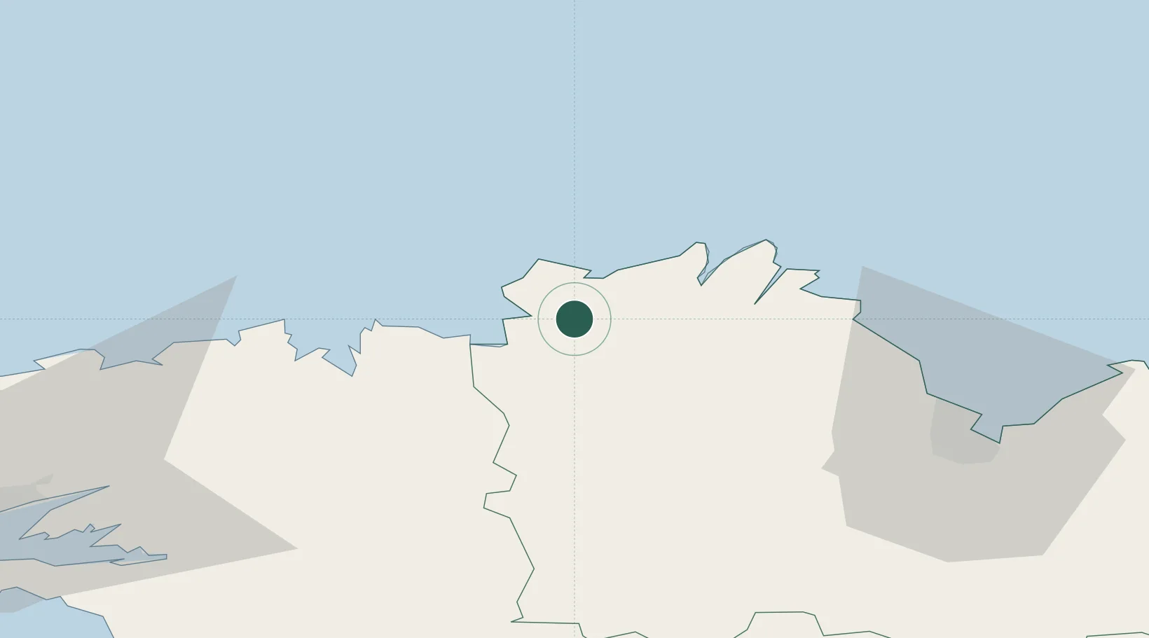
Location
Nearby Logistics Neighbours
Cities
- 1Tonquédec8 km
- 2Perros-Guirec9 km
- 3Trébeurden9 km
- 4Trédrez-Locquémeau9 km
- 5Cavan10 km
Ports
- 1Treguier17 km
- 2Pontrieux22 km
- 3Lezardrieux27 km
- 4Paimpol30 km
- 5Morlaix33 km
Airports
- 1Lannion Airport3 km
- 2Morlaix-Ploujean Airport31 km
- 3Saint-Brieuc-Armor Airport49 km
- 4Landivisiau Air Base56 km
- 5Brest Bretagne airport78 km
Trade Zones
- 1ZFU Cherbourg-Octeville164 km
- 2ZFU Saint-Nazaire184 km
- 3Oceansgate Plymouth190 km
- 4Heart of the South West Enterprise Zone191 km
- 5ZFU Nantes et Saint-Herblain212 km
DatabookThe Record of Consolidated Knowledge
France beyond logistics?