UN/LOCODE hub · France
FRLQ4
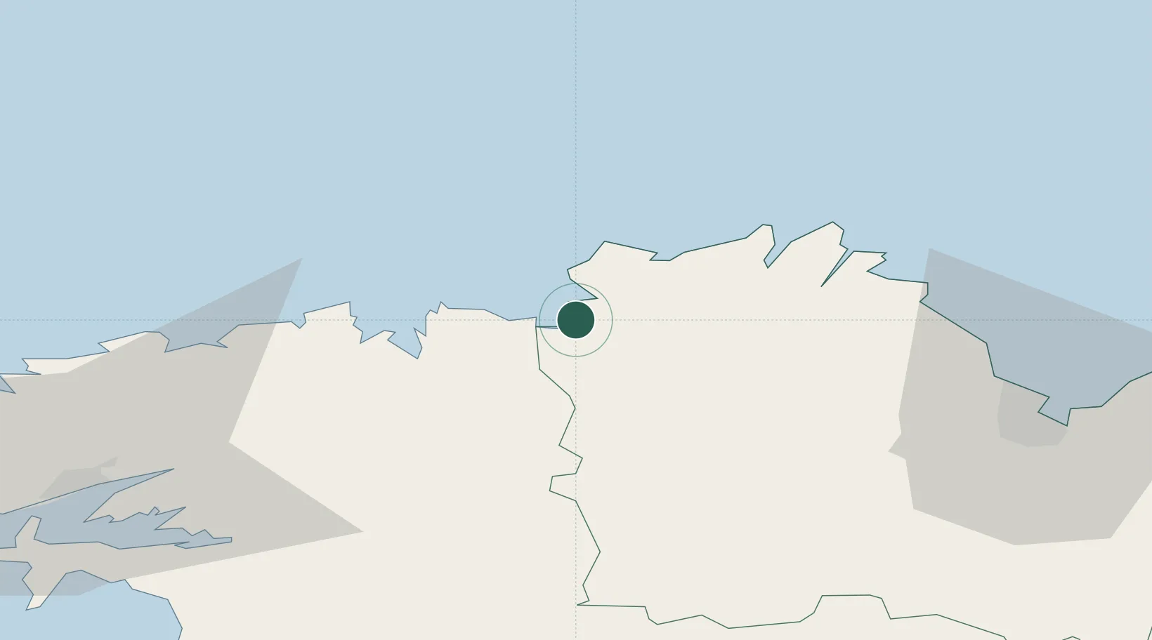
Trédrez-Locquémeau
48.7000°, -3.5667°
1,456
Population
2
Transport functions
Transport Functions
Port
Road
Hub Profile
Place type
Populated place
Region
Brittany
Population
1,456
Time zone
Europe/Paris
Elevation
85 m
Location
Nearby Logistics Neighbours
Cities
- 1Locquirec6 km
- 2Trébeurden7 km
- 3Lannion9 km
- 4Guimaëc11 km
- 5Plouegat-Guérand12 km
Ports
- 1Morlaix24 km
- 2Treguier26 km
- 3Port De Roscoff-Bloscon31 km
- 4Pontrieux31 km
- 5Lezardrieux36 km
Airports
- 1Lannion Airport9 km
- 2Morlaix-Ploujean Airport21 km
- 3Landivisiau Air Base47 km
- 4Saint-Brieuc-Armor Airport55 km
- 5Brest Bretagne airport69 km
Trade Zones
- 1ZFU Cherbourg-Octeville173 km
- 2ZFU Saint-Nazaire185 km
- 3Oceansgate Plymouth191 km
- 4Heart of the South West Enterprise Zone192 km
- 5ZFU Nantes et Saint-Herblain215 km
DatabookThe Record of Consolidated Knowledge
France beyond logistics?