Transport Functions
Port
Multimodal
Hub Profile
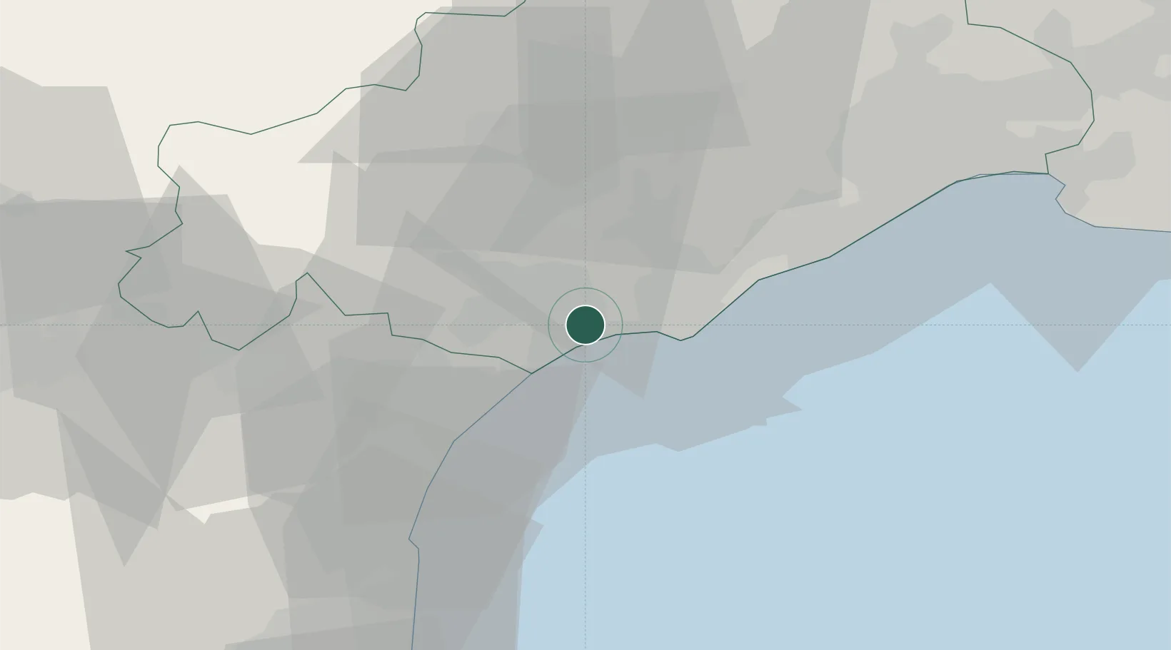
Place type
Populated place
Region
Occitanie
Population
2,571
Time zone
Europe/Paris
Elevation
18 m
Location
Nearby Logistics Neighbours
Cities
- 1Cers3 km
- 2Valras-Plage7 km
- 3Bessan10 km
- 4Vendres10 km
- 5Béziers11 km
Ports
- 1Sete32 km
- 2Port-La-Nouvelle38 km
- 3Port-Vendres89 km
- 4Rosas116 km
- 5Port Saint Louis Du Rhone120 km
Airports
Trade Zones
- 1ZFU Béziers10 km
- 2ZFU Montpellier54 km
- 3ZFU Perpignan76 km
- 4ZFU Nîmes100 km
- 5ZFU Avignon139 km
DatabookThe Record of Consolidated Knowledge
France beyond logistics?