Transport Functions
Multimodal
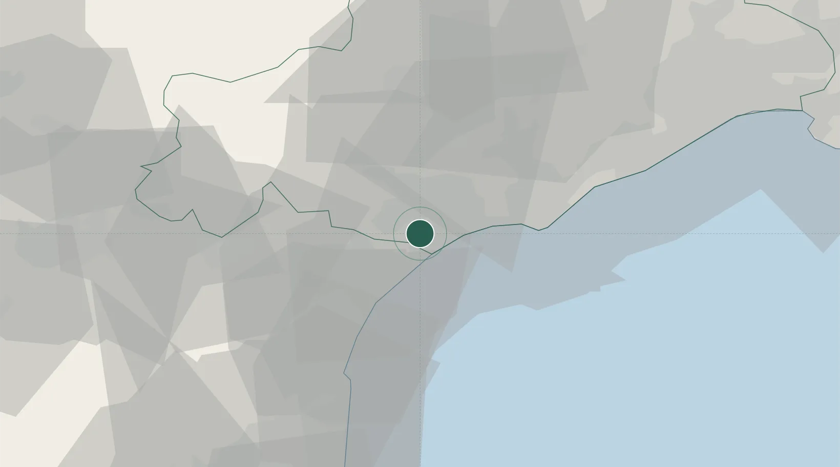
Hub Profile
Place type
Populated place
Region
Occitanie
Population
1,744
Time zone
Europe/Paris
Elevation
21 m
Location
Nearby Logistics Neighbours
Cities
- 1Lespignan4 km
- 2Valras-Plage6 km
- 3Nissan-lez-Enserune7 km
- 4Cers9 km
- 5Colombiers9 km
Ports
- 1Port-La-Nouvelle30 km
- 2Sete42 km
- 3Port-Vendres84 km
- 4Rosas111 km
- 5Port Saint Louis Du Rhone130 km
Airports
Trade Zones
- 1ZFU Béziers8 km
- 2ZFU Montpellier63 km
- 3ZFU Perpignan68 km
- 4ZFU Nîmes110 km
- 5ZFU Toulouse148 km
DatabookThe Record of Consolidated Knowledge
France beyond logistics?