Transport Functions
Port
Hub Profile
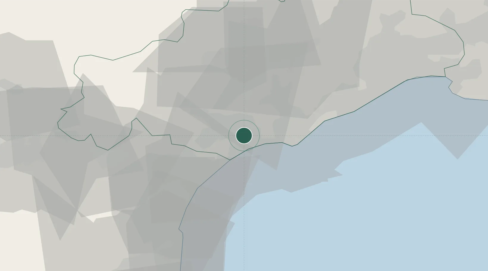
Place type
Populated place
Region
Occitanie
Population
2,037
Time zone
Europe/Paris
Elevation
15 m
Location
Nearby Logistics Neighbours
Cities
- 1Portiragnes3 km
- 2Valras-Plage8 km
- 3Béziers8 km
- 4Vendres9 km
- 5Bessan11 km
Ports
- 1Sete34 km
- 2Port-La-Nouvelle38 km
- 3Port-Vendres90 km
- 4Rosas117 km
- 5Port Saint Louis Du Rhone123 km
Airports
Trade Zones
- 1ZFU Béziers7 km
- 2ZFU Montpellier55 km
- 3ZFU Perpignan76 km
- 4ZFU Nîmes101 km
- 5ZFU Avignon140 km
DatabookThe Record of Consolidated Knowledge
France beyond logistics?