Transport Functions
Road
Multimodal
Hub Profile
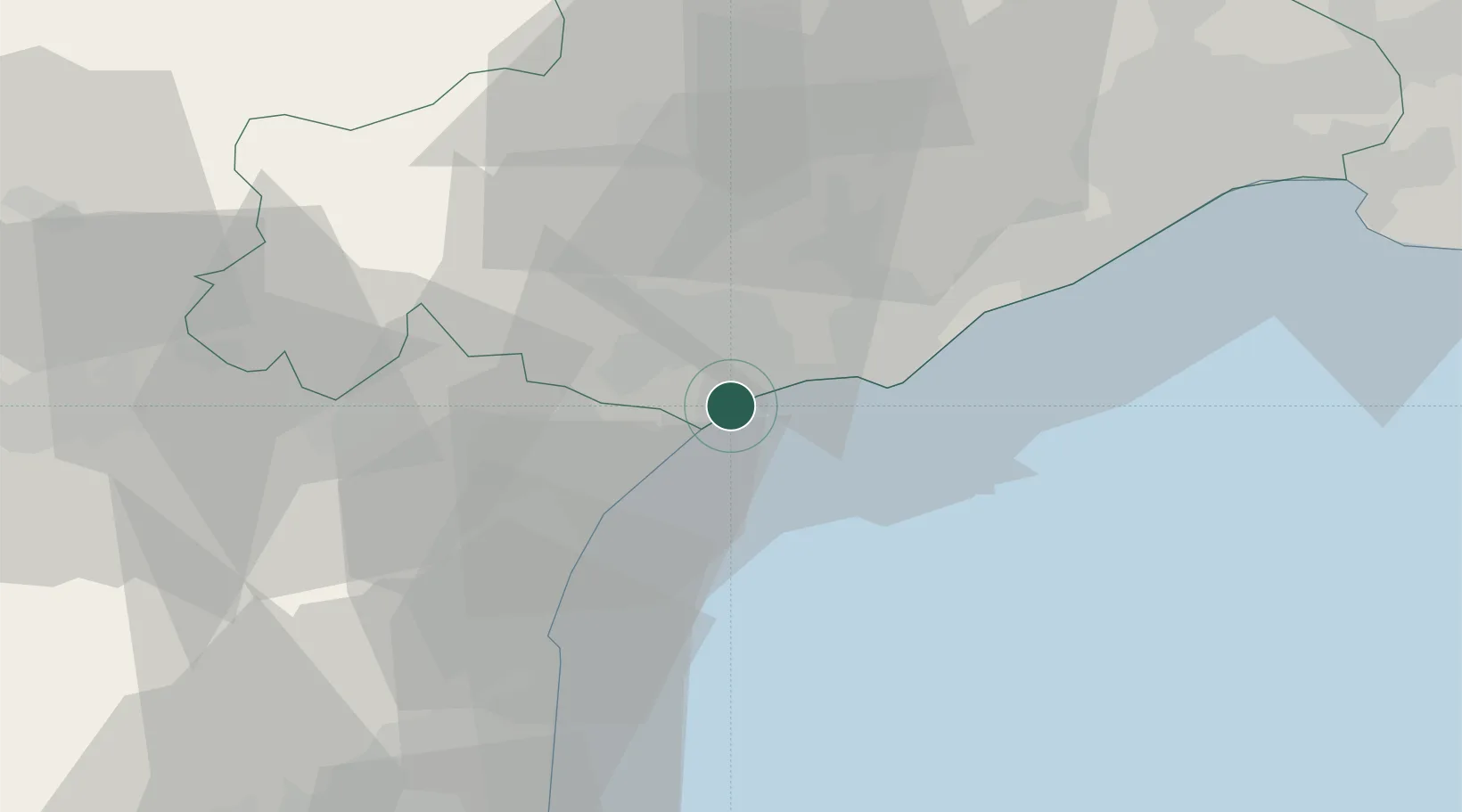
Place type
Populated place
Region
Occitanie
Population
4,078
Time zone
Europe/Paris
Elevation
3 m
Location
Nearby Logistics Neighbours
Cities
- 1Vendres6 km
- 2Portiragnes7 km
- 3Cers8 km
- 4Lespignan10 km
- 5Béziers12 km
Ports
- 1Port-La-Nouvelle31 km
- 2Sete38 km
- 3Port-Vendres83 km
- 4Rosas110 km
- 5Port Saint Louis Du Rhone125 km
Airports
Trade Zones
- 1ZFU Béziers11 km
- 2ZFU Montpellier60 km
- 3ZFU Perpignan69 km
- 4ZFU Nîmes107 km
- 5ZFU Avignon145 km
DatabookThe Record of Consolidated Knowledge
France beyond logistics?