Transport Functions
Port
Multimodal
Hub Profile
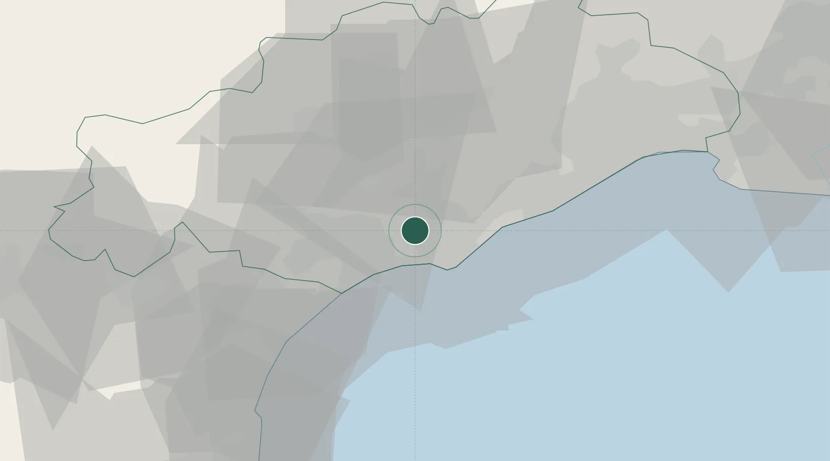
Place type
Populated place
Region
Occitanie
Population
4,531
Time zone
Europe/Paris
Elevation
19 m
Location
Nearby Logistics Neighbours
Cities
- 1Saint-Thibéry4 km
- 2Nézignan-l'Évêque6 km
- 3Valros7 km
- 4Castelnau-de-Guers8 km
- 5Pézenas9 km
Ports
- 1Sete23 km
- 2Port-La-Nouvelle48 km
- 3Port-Vendres98 km
- 4Port Saint Louis Du Rhone113 km
- 5Fos119 km
Airports
Trade Zones
- 1ZFU Béziers17 km
- 2ZFU Montpellier44 km
- 3ZFU Perpignan86 km
- 4ZFU Nîmes90 km
- 5ZFU Avignon129 km
DatabookThe Record of Consolidated Knowledge
France beyond logistics?