Transport Functions
Rail
Airport
Hub Profile
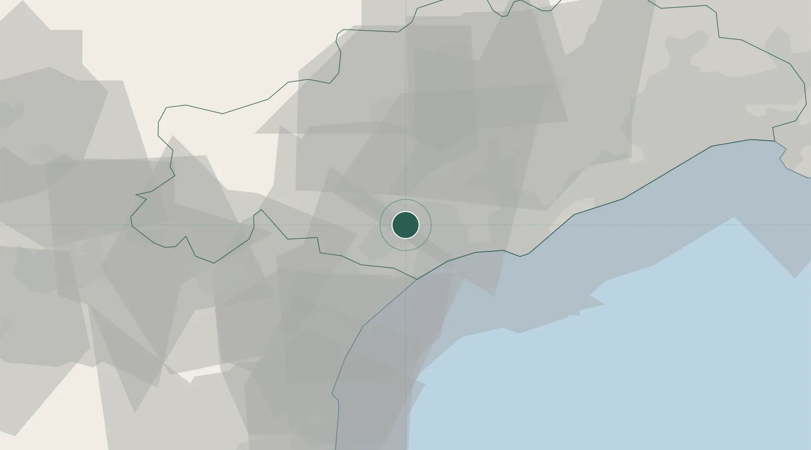
Place type
District seat
Region
Occitanie
Population
74,081
Time zone
Europe/Paris
Elevation
66 m
Location
Nearby Logistics Neighbours
Cities
- 1Corneilhan6 km
- 2Cers8 km
- 3Colombiers8 km
- 4Maureilhan-et-Raméjan8 km
- 5Montady8 km
Ports
- 1Port-La-Nouvelle39 km
- 2Sete40 km
- 3Port-Vendres93 km
- 4Rosas121 km
- 5Port Saint Louis Du Rhone129 km
Airports
Trade Zones
- 1ZFU Béziers2 km
- 2ZFU Montpellier58 km
- 3ZFU Perpignan77 km
- 4ZFU Nîmes105 km
- 5ZFU Avignon144 km
DatabookThe Record of Consolidated Knowledge
France beyond logistics?