Transport Functions
Rail
Airport
Postal
Hub Profile
Place type
Provincial seat
Region
Nouvelle-Aquitaine
Population
141,176
Time zone
Europe/Paris
Elevation
309 m
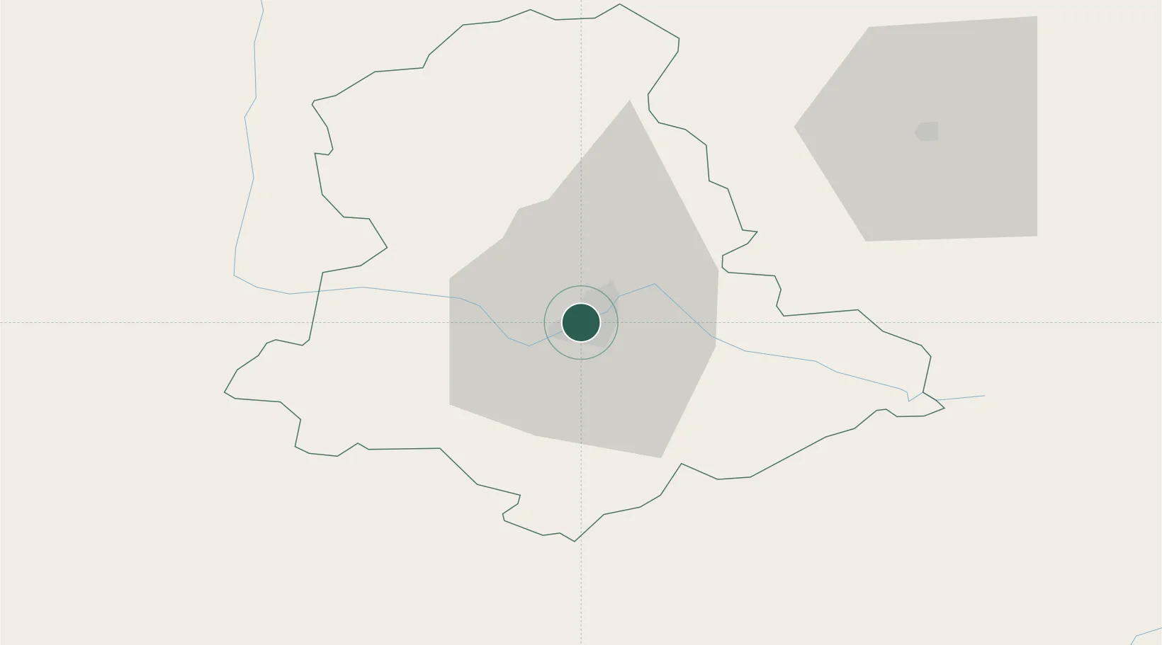
Location
Nearby Logistics Neighbours
Cities
- 1Isle5 km
- 2Verneuil-sur-Vienne11 km
- 3Aixe-sur-Vienne11 km
- 4Pierre-Buffière16 km
- 5Ambazac17 km
Ports
- 1Ambes167 km
- 2Tonnay Charente168 km
- 3Blaye170 km
- 4Rochefort172 km
- 5Pauillac172 km
Airports
Trade Zones
- 1ZFU Clermont-Ferrand141 km
- 2ZFU Bourges161 km
- 3Port de Bordeaux174 km
- 4ZFU Hauts de Garonne182 km
- 5ZFU Blois194 km
DatabookThe Record of Consolidated Knowledge
France beyond logistics?