UN/LOCODE hub · France
FRQVV
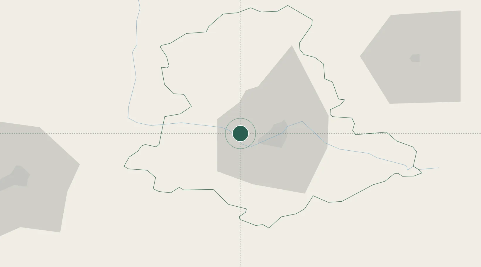
Verneuil-sur-Vienne
45.8500°, 1.1333°
3,594
Population
2
Transport functions
Transport Functions
Road
Multimodal
Hub Profile
Place type
Populated place
Region
Nouvelle-Aquitaine
Population
3,594
Time zone
Europe/Paris
Elevation
312 m
Location
Nearby Logistics Neighbours
Cities
- 1Aixe-sur-Vienne6 km
- 2Isle9 km
- 3Limoges11 km
- 4Saint-Laurent-sur-Gorre17 km
- 5Nantiat19 km
Ports
- 1Tonnay Charente158 km
- 2Ambes160 km
- 3Blaye161 km
- 4Rochefort162 km
- 5Pauillac164 km
Airports
Trade Zones
- 1ZFU Clermont-Ferrand151 km
- 2ZFU Bourges164 km
- 3Port de Bordeaux167 km
- 4ZFU Hauts de Garonne175 km
- 5ZFU La Rochelle184 km
DatabookThe Record of Consolidated Knowledge
France beyond logistics?