Transport Functions
Road
Multimodal
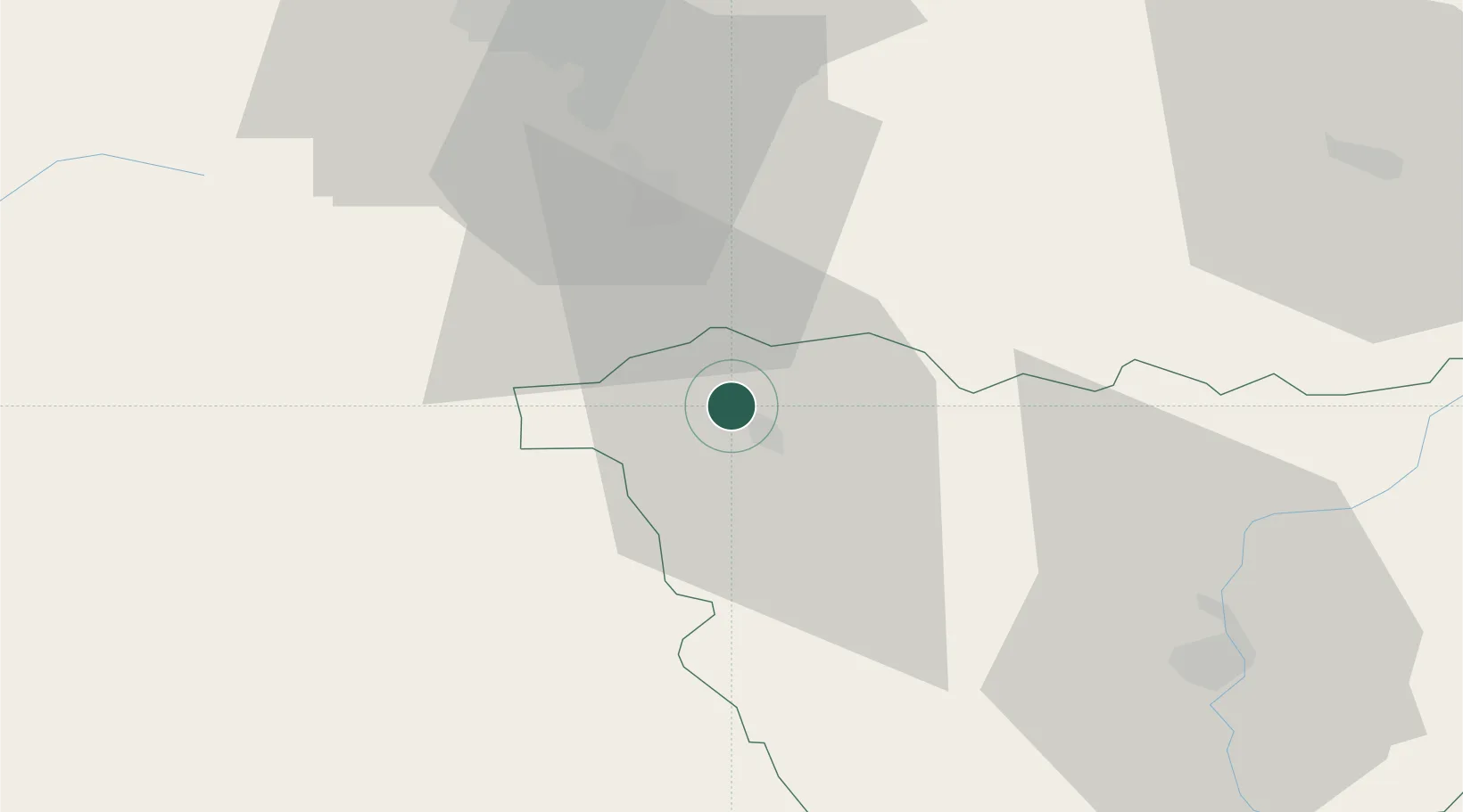
Hub Profile
Place type
Populated place
Region
Rhône-Alpes
Population
739
Time zone
Europe/Paris
Elevation
414 m
Location
Nearby Logistics Neighbours
Cities
- 1Bournoncle-Saint-Pierre3 km
- 2Auzon6 km
- 3Cenac15 km
- 4Massiac16 km
- 5Chalus18 km
Ports
- 1Sete217 km
- 2Fos246 km
- 3Port Saint Louis Du Rhone246 km
- 4Port-de-Bouc251 km
- 5Port-La-Nouvelle259 km
Airports
Trade Zones
- 1ZFU Clermont-Ferrand55 km
- 2ZFU Saint-Etienne75 km
- 3ZFU Lyon 9e124 km
- 4ZFU Vénissieux124 km
- 5ZFU Valence126 km
DatabookThe Record of Consolidated Knowledge
France beyond logistics?