Transport Functions
Rail
Road
Hub Profile
Place type
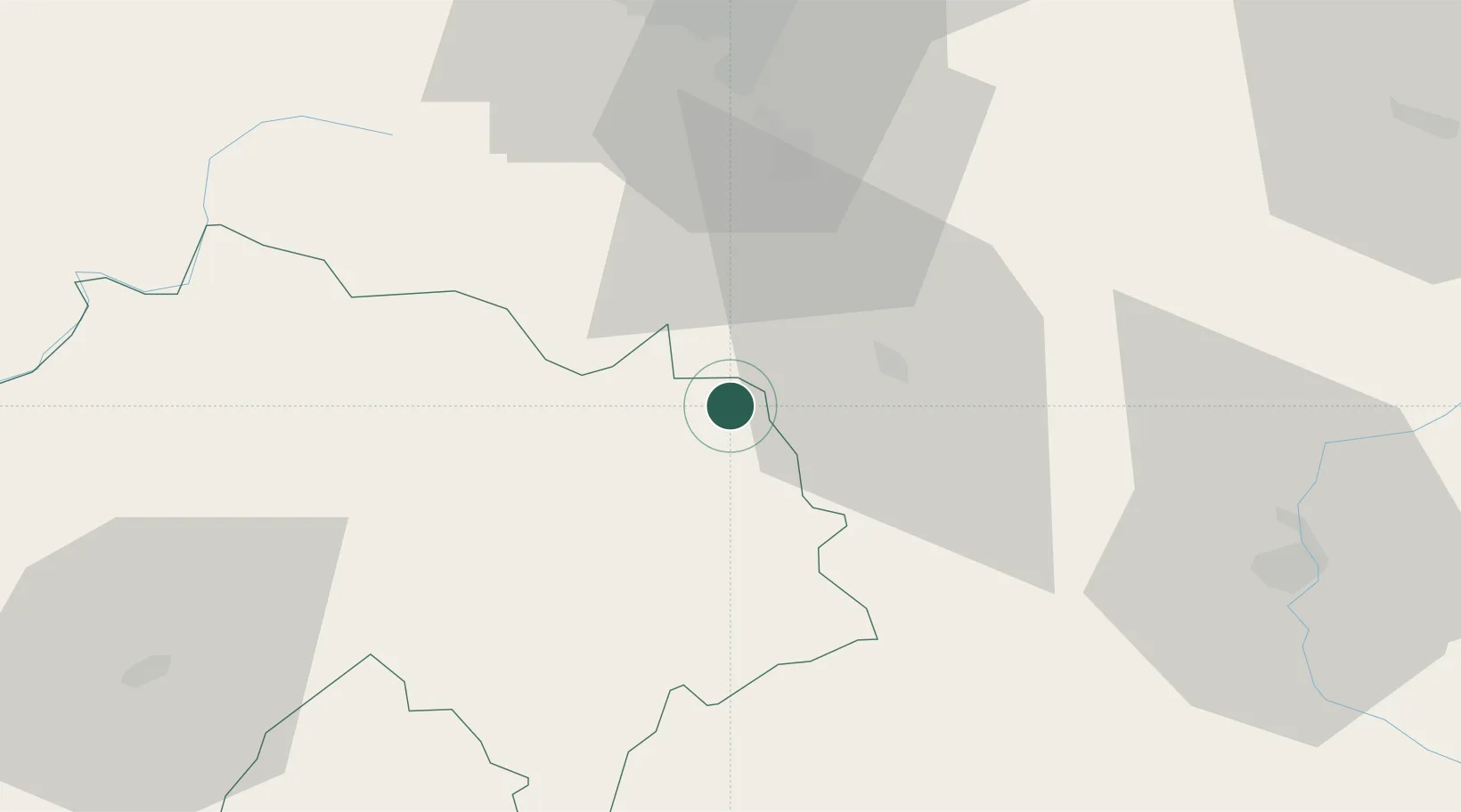
Populated place
Region
Rhône-Alpes
Population
1,835
Time zone
Europe/Paris
Elevation
542 m
Location
Nearby Logistics Neighbours
Cities
- 1Bournoncle-Saint-Pierre14 km
- 2Cohade16 km
- 3Neussargues-Moissac20 km
- 4Auzon21 km
- 5Chilhac24 km
Ports
- 1Sete210 km
- 2Fos245 km
- 3Port Saint Louis Du Rhone245 km
- 4Port-La-Nouvelle249 km
- 5Port-de-Bouc251 km
Airports
Trade Zones
- 1ZFU Clermont-Ferrand60 km
- 2ZFU Saint-Etienne89 km
- 3ZFU Valence136 km
- 4ZFU Vénissieux139 km
- 5ZFU Lyon 9e139 km
DatabookThe Record of Consolidated Knowledge
France beyond logistics?