Transport Functions
Road
Multimodal
Hub Profile
Place type
Populated place
Region
Rhône-Alpes
Time zone
Europe/Paris
Elevation
728 m
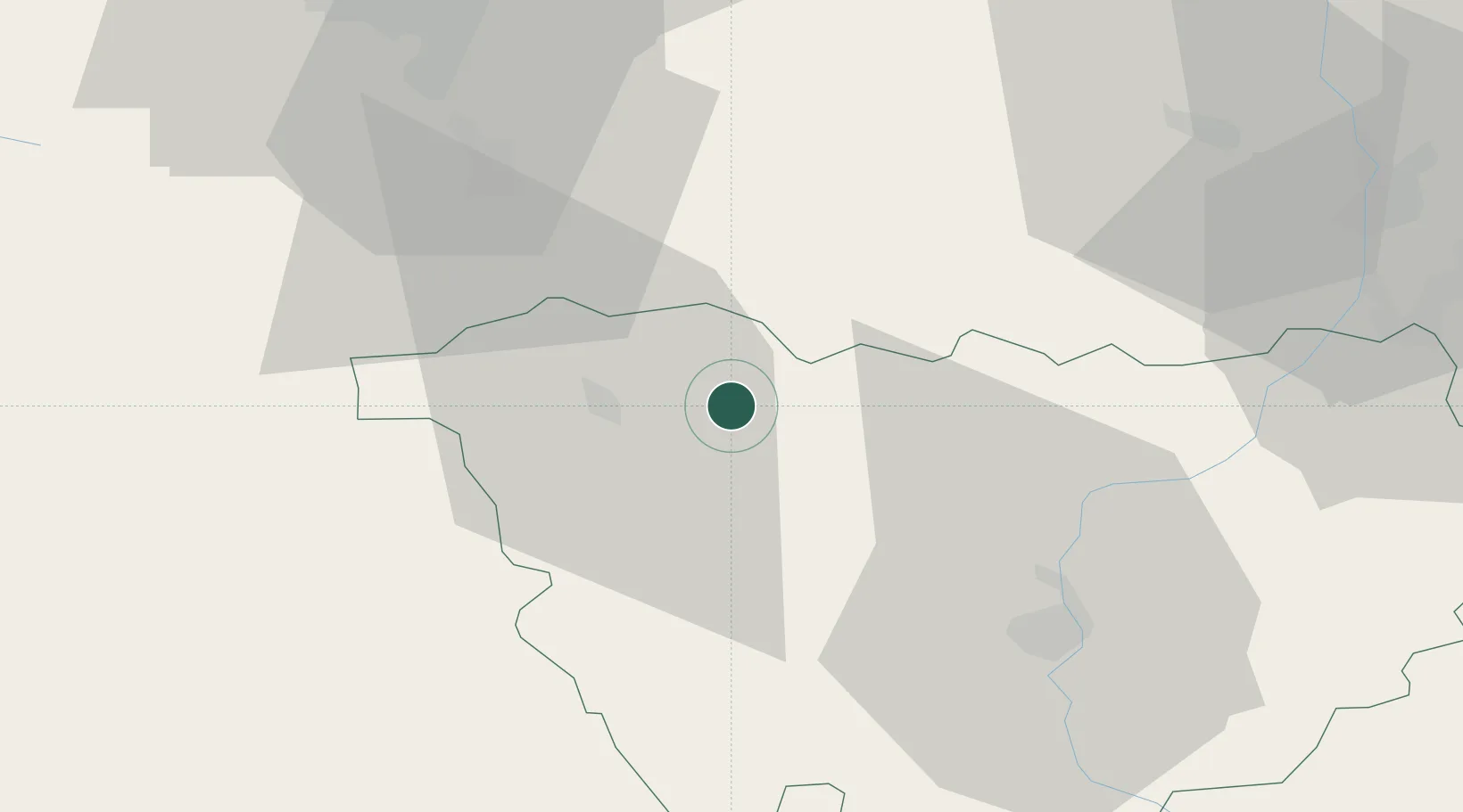
Location
Nearby Logistics Neighbours
Cities
- 1Cohade15 km
- 2Auzon16 km
- 3Bournoncle-Saint-Pierre17 km
- 4Chilhac18 km
- 5Vernassal21 km
Ports
- 1Sete212 km
- 2Fos235 km
- 3Port Saint Louis Du Rhone236 km
- 4Port-de-Bouc241 km
- 5Port-La-Nouvelle257 km
Airports
Trade Zones
- 1ZFU Saint-Etienne61 km
- 2ZFU Clermont-Ferrand65 km
- 3ZFU Valence111 km
- 4ZFU Vénissieux112 km
- 5ZFU Lyon 9e112 km
DatabookThe Record of Consolidated Knowledge
France beyond logistics?