UN/LOCODE hub · France
FRBPI

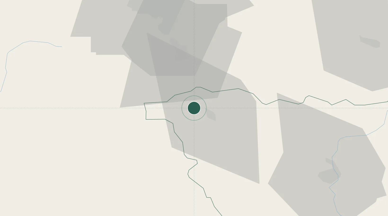
Bournoncle-Saint-Pierre

45.3333°, 3.3167°
1,016
Population
2
Transport functions

Transport Functions

Rail
Road
UN/LOCODE

Hub Profile

Place type
Populated place
GeoNames
Region
Rhône-Alpes
GeoNames
Population
1,016
GeoNames
Time zone
Europe/Paris
GeoNames
Elevation
464 m
GeoNames

Location

Location of FRBPI
Natural Earth 10m (public domain) · Rhône-Alpes · FRBPI · 45.33, 3.32GoogleOSMYandex

Nearby Logistics Neighbours

Cities
  1. 1Cohade3 km
  2. 2Auzon7 km
  3. 3Massiac14 km
  4. 4Chalus17 km
  5. 5Cenac17 km
Nearest neighbours — logibook spatial index (haversine) over the source coordinates
Ports
  1. 1Sete217 km
  2. 2Fos247 km
  3. 3Port Saint Louis Du Rhone247 km
  4. 4Port-de-Bouc253 km
  5. 5Port-La-Nouvelle258 km
Nearest neighbours — logibook spatial index (haversine) over the source coordinates
Airports
  1. 1Le Puy-Loudes Airfield45 km
  2. 2Clermont-Ferrand Auvergne airport52 km
  3. 3Saint-Étienne-Bouthéon Airport80 km
  4. 4Aurillac airport86 km
  5. 5Vichy-Charmeil Airport93 km
Nearest neighbours — logibook spatial index (haversine) over the source coordinates
Trade Zones
  1. 1ZFU Clermont-Ferrand54 km
  2. 2ZFU Saint-Etienne77 km
  3. 3ZFU Lyon 9e126 km
  4. 4ZFU Vénissieux126 km
  5. 5ZFU Valence128 km
Nearest neighbours — logibook spatial index (haversine) over the source coordinates
DatabookThe Record of Consolidated Knowledge
France beyond logistics?
Browse databook

All Sources

LocationsUN/LOCODE
UN/LOCODE — free
LocationsGeoNames
CC BY 4.0
Portsthe NGA World Port Index
Public domain (US gov)
AirportsOurAirports
Public domain
Trade Zonesthe World Bank SEZ database
CC BY 4.0
Trade ZonesOpen Zone Map
CC BY
← France locations