Transport Functions
Multimodal
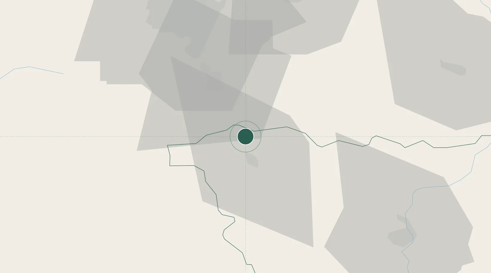
Hub Profile
Place type
Populated place
Region
Rhône-Alpes
Population
876
Time zone
Europe/Paris
Elevation
450 m
Location
Nearby Logistics Neighbours
Cities
- 1Cohade6 km
- 2Bournoncle-Saint-Pierre7 km
- 3Chalus15 km
- 4Cenac16 km
- 5Massiac21 km
Ports
- 1Sete222 km
- 2Fos250 km
- 3Port Saint Louis Du Rhone251 km
- 4Port-de-Bouc255 km
- 5Port-La-Nouvelle264 km
Airports
Trade Zones
- 1ZFU Clermont-Ferrand50 km
- 2ZFU Saint-Etienne73 km
- 3ZFU Lyon 9e120 km
- 4ZFU Vénissieux121 km
- 5ZFU Rillieux-la-Pape126 km
DatabookThe Record of Consolidated Knowledge
France beyond logistics?