Transport Functions
Multimodal
Hub Profile
Place type
Populated place
Region
Rhône-Alpes
Time zone
Europe/Paris
Elevation
579 m
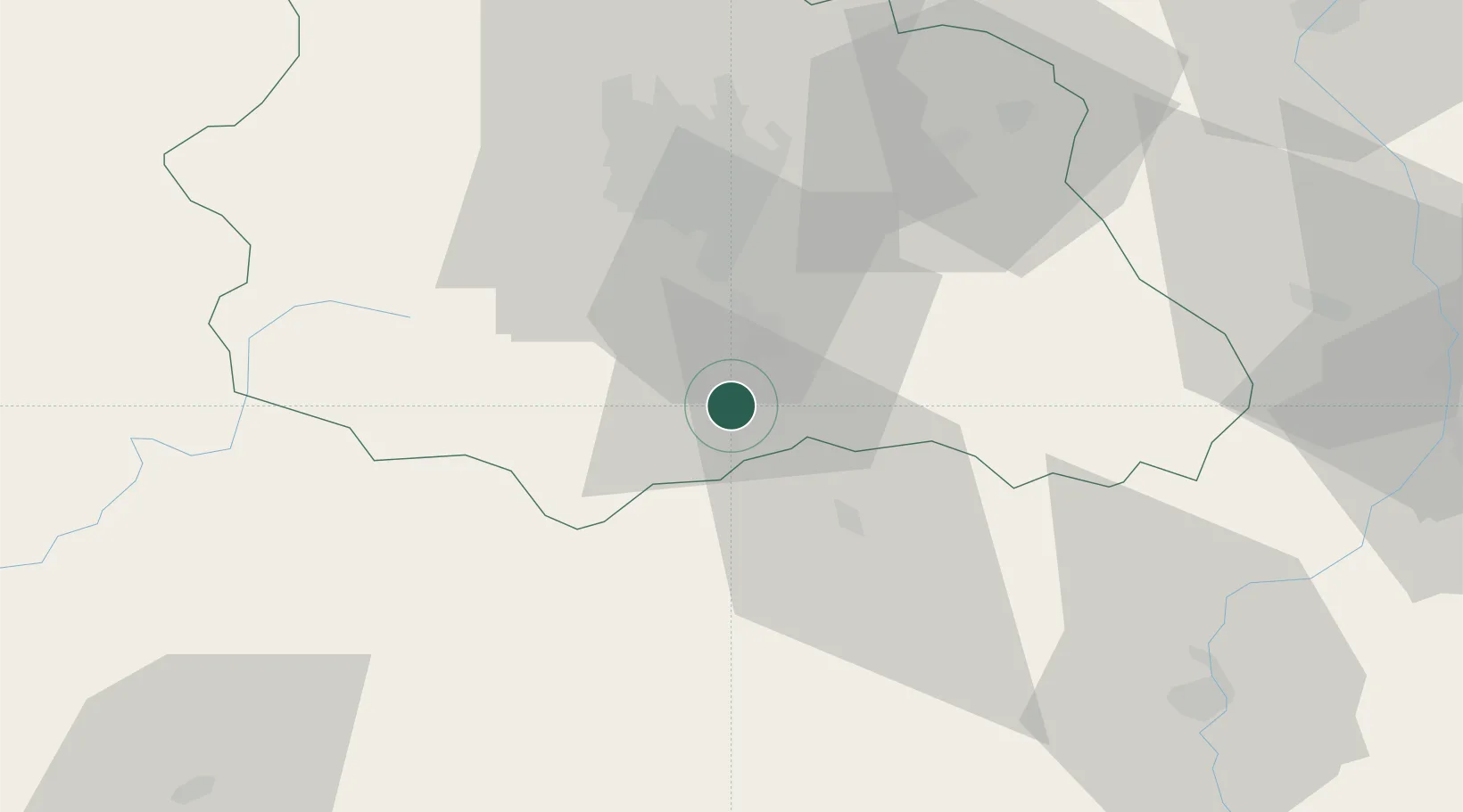
Location
Nearby Logistics Neighbours
Cities
- 1Ronzieres8 km
- 2Issoire10 km
- 3Auzon15 km
- 4Montaigut-le-Blanc16 km
- 5Coudes17 km
Ports
- 1Sete233 km
- 2Fos264 km
- 3Port Saint Louis Du Rhone264 km
- 4Port-de-Bouc269 km
- 5Port-La-Nouvelle273 km
Airports
Trade Zones
- 1ZFU Clermont-Ferrand37 km
- 2ZFU Saint-Etienne84 km
- 3ZFU Lyon 9e128 km
- 4ZFU Vénissieux130 km
- 5ZFU Rillieux-la-Pape134 km
DatabookThe Record of Consolidated Knowledge
France beyond logistics?