UN/LOCODE hub · France
FRG2L
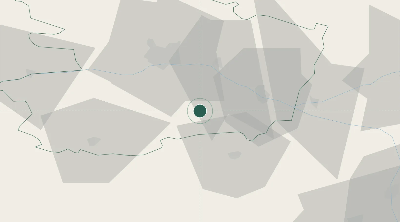
Saint-Georges-sur-Layon
47.2000°, -0.3667°
630
Population
1
Transport functions
Transport Functions
Multimodal
Hub Profile
Place type
Populated place
Region
Pays de la Loire
Population
630
Time zone
Europe/Paris
Elevation
65 m
Location
Nearby Logistics Neighbours
Cities
- 1Concourson-sur-Layon3 km
- 2Ambillou-Château8 km
- 3Passavant-sur-Layon9 km
- 4Dénezé-sous-Doué9 km
- 5Montilliers10 km
Ports
- 1Nantes91 km
- 2Donges129 km
- 3La Rochelle131 km
- 4La Pallice132 km
- 5Montoir134 km
Airports
- 1Angers Marcé airport40 km
- 2Poitiers-Biard Airport85 km
- 3Tours Val de Loire Airport86 km
- 4Le Mans-Arnage Airport94 km
- 5Nantes Atlantique Airport94 km
Trade Zones
- 1ZFU Angers36 km
- 2ZFU Le Mans94 km
- 3ZFU Nantes et Saint-Herblain101 km
- 4ZFU Blois130 km
- 5ZFU La Rochelle132 km
DatabookThe Record of Consolidated Knowledge
France beyond logistics?