Transport Functions
Rail
Road
Airport
Hub Profile
Place type
Provincial seat
Region
Nouvelle-Aquitaine
Population
54,660
Time zone
Europe/Paris
Elevation
21 m
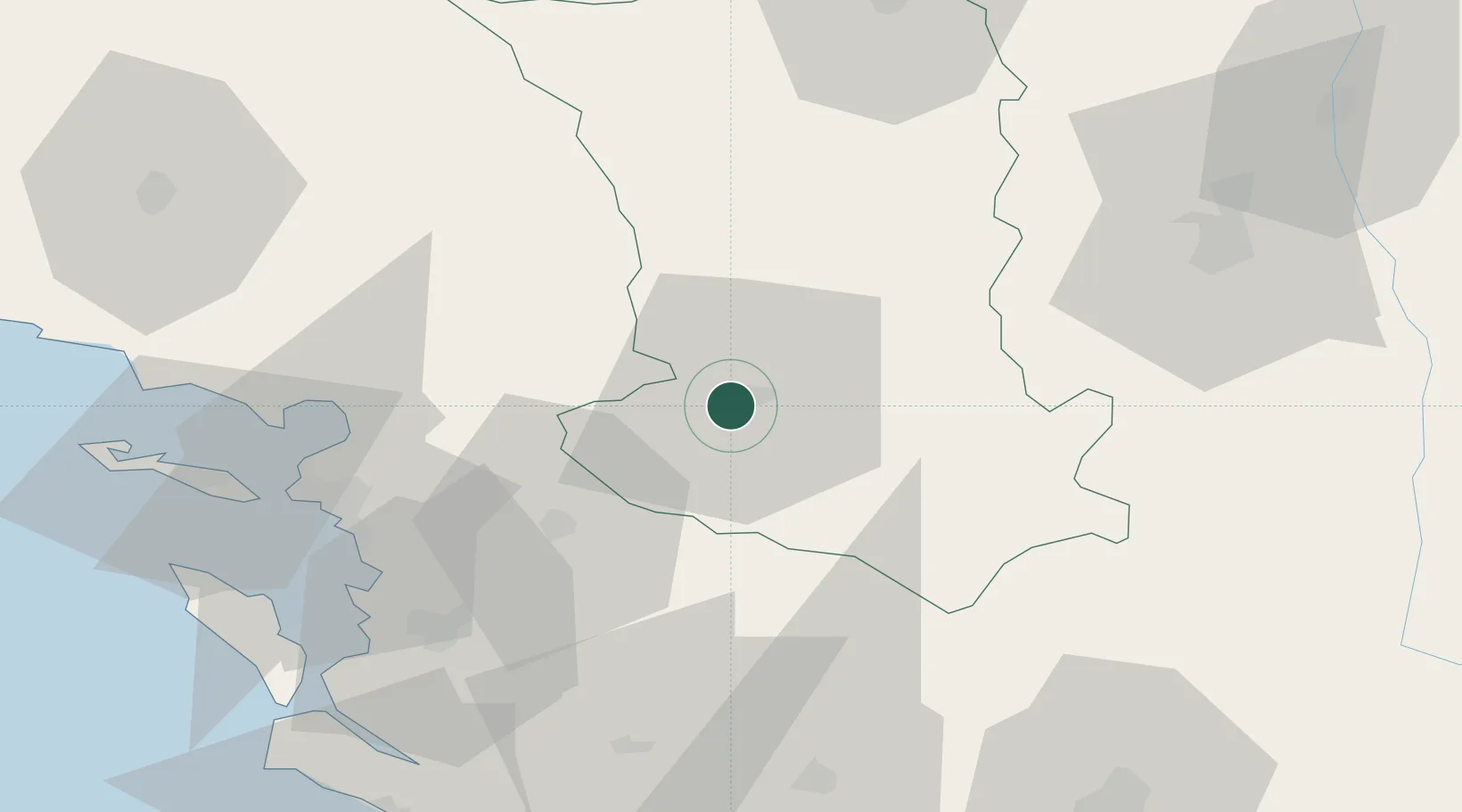
Location
Nearby Logistics Neighbours
Cities
- 1Aiffres5 km
- 2Les Fosses6 km
- 3Thorigné17 km
- 4Mauzé-sur-le-Mignon20 km
- 5Saint-Maixent-l'École23 km
Ports
- 1Tonnay Charente54 km
- 2La Rochelle56 km
- 3Rochefort57 km
- 4La Pallice60 km
- 5Le Verdon96 km
Airports
Trade Zones
- 1ZFU La Rochelle60 km
- 2ZFU Angers130 km
- 3ZFU Nantes et Saint-Herblain138 km
- 4Port de Bordeaux157 km
- 5ZFU Hauts de Garonne166 km
DatabookThe Record of Consolidated Knowledge
France beyond logistics?