Transport Functions
Multimodal
Hub Profile
Place type
Populated place
Region
Nouvelle-Aquitaine
Population
361
Time zone
Europe/Paris
Elevation
76 m
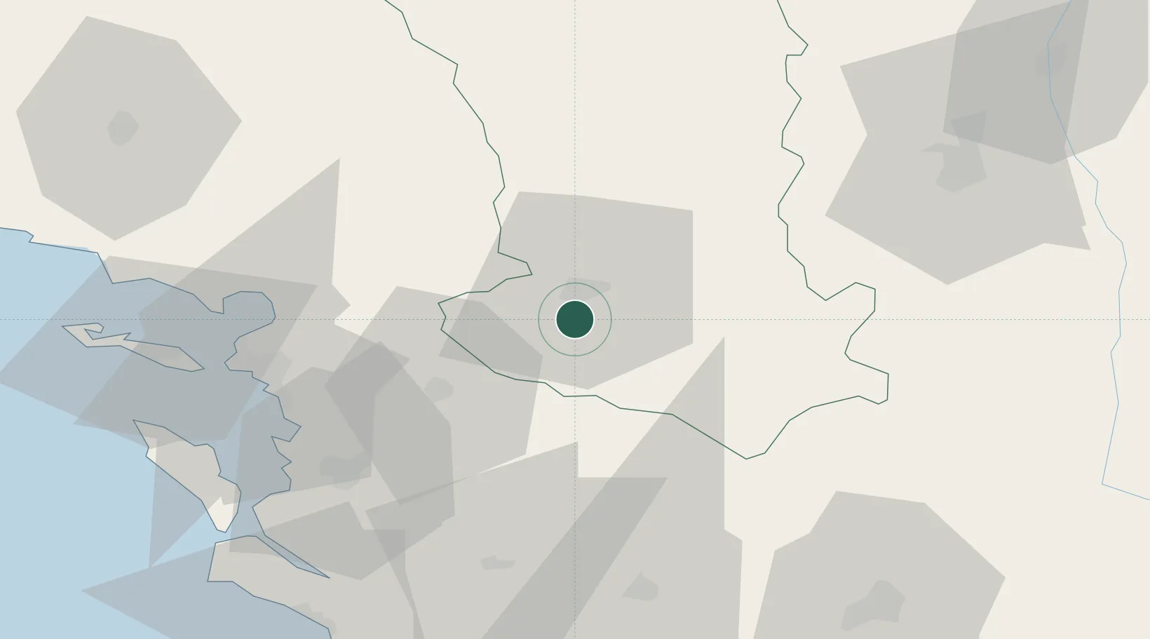
Location
Nearby Logistics Neighbours
Cities
- 1Aiffres4 km
- 2Niort6 km
- 3Thorigné17 km
- 4Mauzé-sur-le-Mignon17 km
- 5Saint-Georges-du-Bois25 km
Ports
- 1Tonnay Charente50 km
- 2Rochefort53 km
- 3La Rochelle54 km
- 4La Pallice59 km
- 5Le Verdon92 km
Airports
Trade Zones
- 1ZFU La Rochelle59 km
- 2ZFU Angers136 km
- 3ZFU Nantes et Saint-Herblain142 km
- 4Port de Bordeaux151 km
- 5ZFU Hauts de Garonne160 km
DatabookThe Record of Consolidated Knowledge
France beyond logistics?