Transport Functions
Multimodal
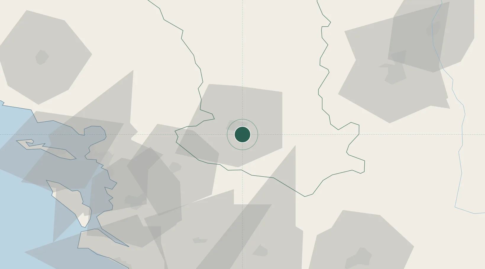
Hub Profile
Place type
Populated place
Region
Nouvelle-Aquitaine
Population
4,815
Time zone
Europe/Paris
Elevation
21 m
Location
Nearby Logistics Neighbours
Cities
- 1Les Fosses4 km
- 2Niort5 km
- 3Thorigné13 km
- 4Mauzé-sur-le-Mignon21 km
- 5Saint-Maixent-l'École22 km
Ports
- 1Tonnay Charente54 km
- 2Rochefort57 km
- 3La Rochelle58 km
- 4La Pallice63 km
- 5Le Verdon95 km
Airports
Trade Zones
- 1ZFU La Rochelle63 km
- 2ZFU Angers134 km
- 3ZFU Nantes et Saint-Herblain143 km
- 4Port de Bordeaux153 km
- 5ZFU Hauts de Garonne162 km
DatabookThe Record of Consolidated Knowledge
France beyond logistics?