UN/LOCODE hub · France
FRVB4

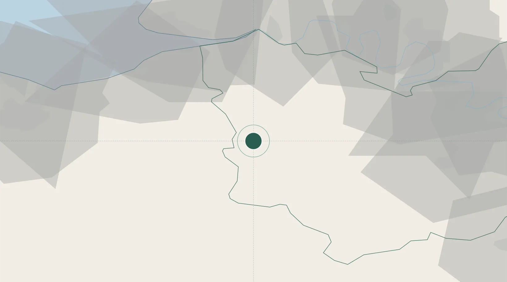
Saint-Vincent-du-Boulay

49.1000°, 0.4833°
282
Population
1
Transport functions

Transport Functions

Multimodal
UN/LOCODE

Hub Profile

Place type
Populated place
GeoNames
Region
Normandy
GeoNames
Population
282
GeoNames
Time zone
Europe/Paris
GeoNames
Elevation
185 m
GeoNames

Location

Location of FRVB4
Natural Earth 10m (public domain) · Normandy · FRVB4 · 49.10, 0.48GoogleOSMYandex

Nearby Logistics Neighbours

Cities
  1. 1Capelle-les-Grands6 km
  2. 2Bernay8 km
  3. 3Bazoques11 km
  4. 4Ouilly-du-Houley13 km
  5. 5Berthouville14 km
Nearest neighbours — logibook spatial index (haversine) over the source coordinates
Ports
  1. 1Honfleur40 km
  2. 2Deauville42 km
  3. 3Port Of Le Havre50 km
  4. 4Ouistreham57 km
  5. 5Port Of Rouen58 km
Nearest neighbours — logibook spatial index (haversine) over the source coordinates
Airports
  1. 1Deauville Normandie airport38 km
  2. 2Évreux-Fauville (BA 105) Air Base54 km
  3. 3Le Havre-Octeville Airport56 km
  4. 4Rouen Vallée de Seine Airport60 km
  5. 5Caen Carpiquet airport69 km
Nearest neighbours — logibook spatial index (haversine) over the source coordinates
Trade Zones
  1. 1ZFU Évreux49 km
  2. 2ZFU Le Havre52 km
  3. 3ZFU Rouen Bihorel60 km
  4. 4ZFU Hérouville-Saint-Clair62 km
  5. 5ZFU La Guérinière, La Grâce de Dieu66 km
Nearest neighbours — logibook spatial index (haversine) over the source coordinates
DatabookThe Record of Consolidated Knowledge
France beyond logistics?
Browse databook

All Sources

LocationsUN/LOCODE
UN/LOCODE — free
LocationsGeoNames
CC BY 4.0
Portsthe NGA World Port Index
Public domain (US gov)
AirportsOurAirports
Public domain
Trade Zonesthe World Bank SEZ database
CC BY 4.0
Trade ZonesOpen Zone Map
CC BY
← France locations