Transport Functions
Rail
Road
Hub Profile
Place type
District seat
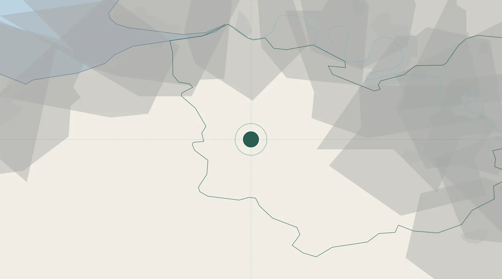
Region
Normandy
Population
12,399
Time zone
Europe/Paris
Elevation
113 m
Location
Nearby Logistics Neighbours
Cities
- 1Saint-Vincent-du-Boulay8 km
- 2Capelle-les-Grands9 km
- 3Nassandres12 km
- 4Berthouville12 km
- 5Bazoques15 km
Ports
- 1Honfleur46 km
- 2Deauville48 km
- 3Port Of Rouen54 km
- 4Port Of Le Havre56 km
- 5Ouistreham65 km
Airports
Trade Zones
- 1ZFU Évreux42 km
- 2ZFU Rouen Bihorel56 km
- 3ZFU Le Havre57 km
- 4ZFU Dreux et Sainte-Gemme-Moronval69 km
- 5ZFU Hérouville-Saint-Clair69 km
DatabookThe Record of Consolidated Knowledge
France beyond logistics?