UN/LOCODE hub · France
FRNC2

Carnac-Rouffiac

44.4167°, 1.2333°
1
Transport functions

Transport Functions

Multimodal
UN/LOCODE

Hub Profile

Region
46
GeoNames

Location

Location of FRNC2
Natural Earth 10m (public domain) · 46 · FRNC2 · 44.42, 1.23GoogleOSMYandex

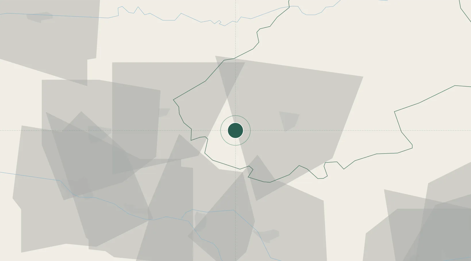
Nearby Logistics Neighbours

Cities
  1. 1Fargues1 km
  2. 2Sauzet1 km
  3. 3Le Boulvé6 km
  4. 4Barguelonne-en-Quercy7 km
  5. 5Grézels8 km
Nearest neighbours — logibook spatial index (haversine) over the source coordinates
Ports
  1. 1Bordeaux151 km
  2. 2Ambes155 km
  3. 3Blaye170 km
  4. 4Pauillac179 km
  5. 5Port-La-Nouvelle214 km
Nearest neighbours — logibook spatial index (haversine) over the source coordinates
Airports
  1. 1Cahors Lalbenque airport21 km
  2. 2Agen La Garenne airport58 km
  3. 3Brive Souillac airport72 km
  4. 4Bergerac Dordogne-Périgord airport73 km
  5. 5Toulouse-Blagnac Airport88 km
Nearest neighbours — logibook spatial index (haversine) over the source coordinates
Trade Zones
  1. 1ZFU Toulouse92 km
  2. 2Port de Bordeaux150 km
  3. 3ZFU Hauts de Garonne150 km
  4. 4ZFU Béziers199 km
  5. 5ZFU Clermont-Ferrand210 km
Nearest neighbours — logibook spatial index (haversine) over the source coordinates
DatabookThe Record of Consolidated Knowledge
France beyond logistics?
Browse databook

All Sources

LocationsUN/LOCODE
UN/LOCODE — free
Portsthe NGA World Port Index
Public domain (US gov)
AirportsOurAirports
Public domain
Trade Zonesthe World Bank SEZ database
CC BY 4.0
Trade ZonesOpen Zone Map
CC BY
← France locations